Deutsch
 Nederlands
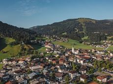
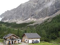
Blaiken circular walk
A gentle walk to ancient farmsteads with a refreshment stop in a welcoming inn.
Hiking starting point Tourist Info, Scheffau (738 m)
Hiking starting point Tourist Info, Scheffau (738 m)
Hiking
Easy
1:30 h
3,8 km
80 Elevation gain