

Hiking tour
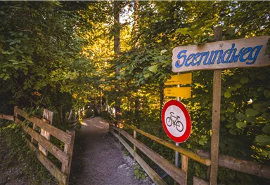
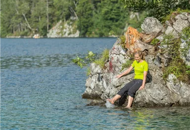
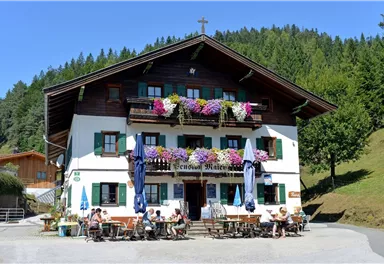
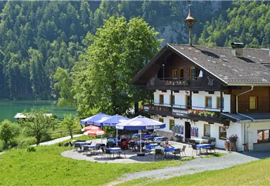
Hintersteiner See circular walk
Crystal-clear mountain lake and magnificent views of the Wilder Kaiser’s western summits
Easy
5,20 km
130 m
01:30 h


Route
5,20 km
130 m
170 m
01:30 h
947 m
Starting Point
Hintersteiner See, Scheffau (890 m)
End Point
Hintersteiner See, Scheffau (890 m)
What to do in an emergency? Call emergency number
140 - Mountain Rescue (Bergrettung)
112 - European Emergency Number
133 - Police
144 - Ambulance
Many routes have rescue points at the hiking signs, which can be used as a clear location identification in an emergency.
The Alpine Club provides tips for optimal preparation for mountain hiking.
SOS-EU-Alp App
The SOS EU ALP app allows you to determine your location (x,y coordinates) via your smartphone. In an emergency, this location data can be sent directly to the responsible control center (Tyrol, South Tyrol or Bavaria).
Important Information
Description
Best Season
Jan
Feb
Mar
Apr
May
Jun
Jul
Aug
Sep
Oct
Nov
Dec
Skill Level
Endurance
Family-friendly
Loop tour
or
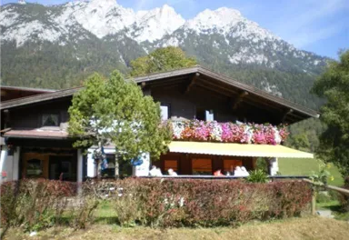
Park & Ride car
park, Scheffau (682 m) – pay & display


Current Weather
Today
2026-03-28
Morning
-7 °C
Afternoon
-3 °C
Evening
-4 °C
Tomorrow
2026-03-29
Morning
-6 °C
Afternoon
-5 °C
Evening
-5 °C
Monday
2026-03-30
Morning
-5 °C
Afternoon
-4 °C
Evening
-4 °C
Tuesday
2026-03-31
Morning
-7 °C
Afternoon
-7 °C
Evening
-7 °C
Wednesday
2026-04-01
Morning
-7 °C
Afternoon
-5 °C
Evening
-5 °C
Thursday
2026-04-02
Morning
-5 °C
Afternoon
-1 °C
Evening
-2 °C
Friday
2026-04-03
Morning
-2 °C
Afternoon
Evening
-1 °C
Saturday
2026-04-04
Morning
-2 °C
Afternoon
1 °C
Evening
1 °C
Sunday
2026-04-05
Morning
Afternoon
3 °C
Evening
2 °C
Monday
2026-04-06
Morning
1 °C
Afternoon
4 °C
Evening
4 °C
Tuesday
2026-04-07
Morning
-1 °C
Afternoon
6 °C
Evening
4 °C
Wednesday
2026-04-08
Morning
Afternoon
8 °C
Evening
4 °C
Thursday
2026-04-09
Morning
1 °C
Afternoon
7 °C
Evening
4 °C
Friday
2026-04-10
Morning
1 °C
Afternoon
5 °C
Evening
2 °C
Last updated at 03/28/2026, 02:01 PM
Contact
Contact
You have questions? We are happy to assist you.


