Deutsch
 Nederlands
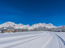
MTB-Tour around Hohe Salve

The varied loop takes you on leisurely valley cycle paths as well as a mountain evaluation on the MTB routes 265 and 350 once around the Hohe Salve lookout mountain.
Tourismus Info, Söll
Tour
Cycling
Intermediate
36,5 km
880 Elevation gain