


Multi-Day Hike (up to 4 stages)
3-day mountain hut tour - stage 1
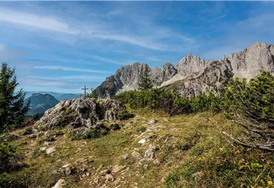
Going, Hüttling - Schleierwasserfall - Obere Regalm - Baumgartenköpfl (Bergsteigergrab) - Gaudeamushütte
Medium
7,30 km
860 m
04:00 h






Medium
Route
7,30 km
860 m
420 m
04:00 h
1568 m
Starting Point
Hiking starting point Hüttling, Going (820 m)
End Point
Gaudeamushütte, Going (1,263 m)
What to do in an emergency? Call emergency number
140 - Mountain Rescue (Bergrettung)
112 - European Emergency Number
133 - Police
144 - Ambulance
Many routes have rescue points at the hiking signs, which can be used as a clear location identification in an emergency.
The Alpine Club provides tips for optimal preparation for mountain hiking.

SOS-EU-Alp App
The SOS EU ALP app allows you to determine your location (x,y coordinates) via your smartphone. In an emergency, this location data can be sent directly to the responsible control center (Tyrol, South Tyrol or Bavaria).
Description
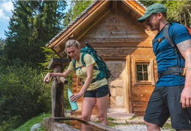
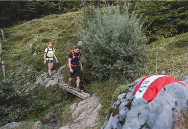
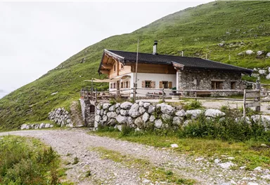
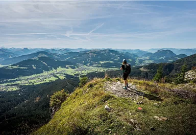
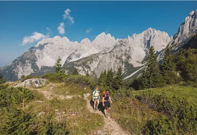
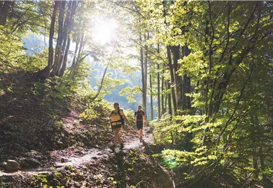
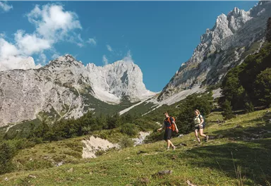
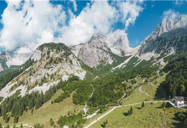
Start at the hiking starting point in Going, Hüttling (820 m). The forest path and later path 818 leads you to the natural spectacle of the Schleier waterfall. The rock dome with its waterfall invites you to take a deep breath and catch your breath. Continue along the rock faces to the Stiegenbach waterfall. At the next crossroads, continue along path 817 towards the Wilder Kaiser. After a short rocky passage, you cross the Stiegenbach stream and hike across alpine meadows to the next junction. Here you follow path 827 to the Obere Regalm (1,313 m).
Continue...
Best Season
Jan
Feb
Mar
Apr
May
Jun
Jul
Aug
Sep
Oct
Nov
Dec
Skill Level
Endurance
Multi-Day Tour Feature
Etappe
Additions for overnight stay at mountain hut:
Mountain hut sleeping bag, indoor shoes, toiletries and towel, personal medication, headlamp, Alpine Club ID Card, cash, charger for mobile phone The hiking routes between the huts are often rather long, we recommend taking plenty of food and drink and booking your overnight stays well in advance.
taxi service directly to the Hüttling hiking starting point in Going.
80 KaiserJet and 865+866 VVT-Regiobuslines: Ellmau Dorf/Bauhof and Going am
Wilden Kaiser Dorf
Please book the taxi by 8 pm at the latest on the day before by calling: +43
(0)664 88222598, or alternatively +43 (0) 5358 21010
With the Wilder Kaiser GuestCard, the on-demand taxi service ist free of
charge.
At the end of the third stage, you’ll return from Scheffau to Going.
80 KaiserJet and 865+866 VVT-Regiobuslines: Scheffau am Wilden Kaiser Dorf
More information at www.wilderkaiser.info/mobility
The
next bus stop at the end of Stage 1:
40 KaiserJet: Ellmau Wochenbrunner Alm
Heading from St. Johann on the B178 main road, take the first exit to Going. Drive through the village and turn right at the Raiffeisenbank. Turn left after the underpass. After approx. 50 meters the road divides - the parking lot is located exactly at the fork, to the right of the slip road onto the B178.
Public car park Mehrtagesparkplatz, Going (744 m) - free
Camping and permanent parking (more than 14 days) are prohibited on this car park.
Obere Regalm - open Friday, Saturday & Sunday in good weather only; mid-September to mid-October Saturday & Sunday


Current Weather
Today
2026-10-24
Morning

1 °C
Afternoon

Evening
-1 °C
Tomorrow
2026-10-25
Morning
2 °C
Afternoon

7 °C
Evening
4 °C
Monday
2026-10-26
Morning

Afternoon

4 °C
Evening
5 °C
Tuesday
2026-10-27
Morning

7 °C
Afternoon
12 °C
Evening

11 °C
Wednesday
2026-10-28
Morning
7 °C
Afternoon

7 °C
Evening
5 °C
Thursday
2026-10-29
Morning
3 °C
Afternoon
6 °C
Evening
5 °C
Friday
2026-10-30
Morning
2 °C
Afternoon
5 °C
Evening
3 °C
Saturday
2026-10-31
Morning
3 °C
Afternoon
6 °C
Evening
4 °C
Sunday
2026-11-01
Morning
1 °C
Afternoon
4 °C
Evening
3 °C
Monday
2026-11-02
Morning
1 °C
Afternoon
4 °C
Evening
3 °C
Tuesday
2026-11-03
Morning
Afternoon
3 °C
Evening
2 °C
Wednesday
2026-11-04
Morning
Afternoon
4 °C
Evening
2 °C
Thursday
2026-11-05
Morning
Afternoon
4 °C
Evening
2 °C
Friday
2026-11-06
Morning
-1 °C
Afternoon
4 °C
Evening
2 °C
Last updated at 10/24/2026, 02:00 PM
Contact
Contact
You have questions? We are happy to assist you.


