Hiking tour
Kleine Salve & Hohe Salve summit tour
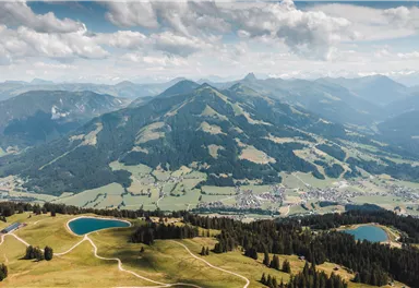
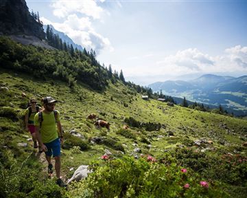
Varied hike with cosy refreshment stops and a wonderful mountain panorama.
Medium
7,40 km
360 m
02:45 h
Route
7,40 km
360 m
580 m
02:45 h
1829 m
Starting Point
mountain station Salvistabahn / Kleine Salve
End Point
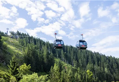
Middle station Salvistabahn Itter
What to do in an emergency? Call emergency number
140 - Mountain Rescue (Bergrettung)
112 - European Emergency Number
133 - Police
144 - Ambulance
Many routes have rescue points at the hiking signs, which can be used as a clear location identification in an emergency.
The Alpine Club provides tips for optimal preparation for mountain hiking.
SOS-EU-Alp App
The SOS EU ALP app allows you to determine your location (x,y coordinates) via your smartphone. In an emergency, this location data can be sent directly to the responsible control center (Tyrol, South Tyrol or Bavaria).
Description
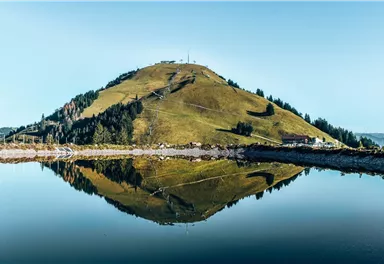
Below the summit, continue along trail no. 71 to the Salvensee lake. The last, somewhat steeper ascent via hiking trail no. 90/95 leads across the southern slope to the summit of the Hohe Salve.
Path no. 65 leads back on the other side of the Hohe Salve to the Itter middle station, again past the Alpengasthof Rigi. Alternatively, you could hike back to the Kleine...
Best Season
Jan
Feb
Mar
Apr
May
Jun
Jul
Aug
Sep
Oct
Nov
Dec
Skill Level
Endurance
Loop tour
sufficient water and snacks
first-aid kit
fully charged mobile phone incl. charger hiking map & guide literature porbably gps device or gps data on mobile
phone
sun protection (sunscreen, sunglasses, hat)
rainwear
cash
From Kitzbühel: From the B161 feeder road take the B178 towards Oberndorf i.T. - stay on the B178 for approx. 4km towards Going am Wilden Kaiser/Stanglwirt - at the junction opposite the Stanglwirt turn right onto Loferer Straße - continue on the B178 towards Ellmau/Scheffau/Söll/Itter - destination is approx. 16km on the left-hand side
Guest card of the region = train ticket from Wörgl to Hochfilzen + bus ticket from Mariastein to Kitzbühel included
More detailed information: www.hohe-salve.com/mobility
Current Weather
Contact
Contact
You have questions? We are happy to assist you.

