Parking area West Pölven, Söll

Opening hours on demand

Dorf 84, Söll

Description

Nothing is as beautiful as discovering the Wilder Kaiser every day.

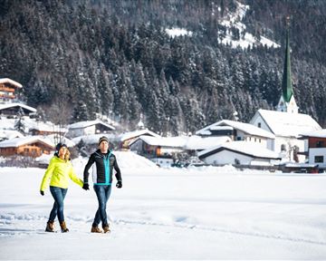
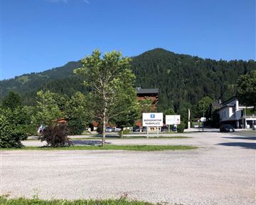
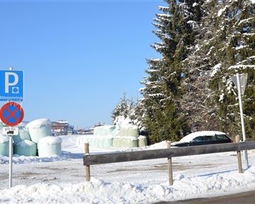
If you decide to park at the parking area West Pölven , you have the ideal starting point to explore the Söller village center and the hiking trails to the most beautiful places at the Wilder Kaiser.

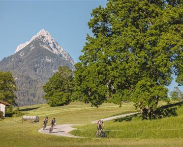
At the same time, the parking area is the starting point for many different tours.

The parking area is free and open all day.

Camping and long-term parking is prohibited in this parking area.

Show more

Contact

Parking area West Pölven, SöllDorf 846306 Söll(0043) 5333 5210gemeinde@soell.tirol.gv.atwww.soell.tirol.gv.at

View city/town map


You can reach us via these tours

Pölven Bike Tour

Pölven Bike Tour
Pölven Bike Tour
Pölven Bike Tour

anywhere along the tour

anywhere along the tour

29,6 km

A beautiful bike tour with moderate and short climbs araound the striking Pölven mountain.

Cycling

Easy

420 Elevation gain

Söller village tour

Söller village tour
Söller village tour
Söller village tour

Hiking starting point Tourist Info, Söll (689 m)

Hiking starting point Tourist Info, Söll (689 m)

3,7 km

Looping the village of Söll, the sight seeing hike!

Hiking

Easy

1:00 h

50 Elevation gain

MTB-Tour around Hohe Salve

MTB-Tour around Hohe Salve

Tourismus Info, Söll

Tour

36,5 km

The varied loop takes you on leisurely valley cycle paths as well as a mountain evaluation on the MTB routes 265 and 350 once around the Hohe Salve lookout mountain.

Cycling

Intermediate

880 Elevation gain

War memorial circular route

War memorial circular route

Hiking starting point Tourist Info, Söll (689 m)

Hiking starting point Tourist Info, Söll (689 m)

2,1 km

This pleasant circular walk takes you to Söll’s war memorial in a beautiful section of forest.

Hiking

Easy

0:30 h

10 Elevation gain

Koller circular route

Koller circular route

Hiking starting point Tourist Info, Söll (689 m)

Hiking starting point Tourist Info, Söll (689 m)

3,0 km

Ancient path of the romans - a better stroll.

Hiking

Easy

1:00 h

55 Elevation gain

MTB-Tour around Juffinger Jöchl

MTB-Tour around Juffinger Jöchl

Village centre, Söll (689 m)

Village centre, Söll (689 m)

24,0 km

A crisp, varied tour from Söll via the Lengau to Bad Häring and over the Werlberg, past the Juffinger Jöchl back to Söll. Between the individual forest sections, you are rewarded again and again with...

Cycling

Difficult

900 Elevation gain