Pölven trail training circular route

Pölven trail training circular route

Description

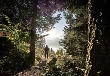
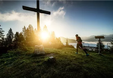
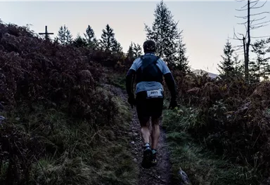
With the Pölven trail (3rd competition of the Tour de Tirol), the route runs from the village centre of Söll via the following distinctive stations. Musikpavillon-Hotel Greil-Oberkoller distillery-Pölvenrundweg circular trail-Schwoich-Bad Häring waterfall-Häring-Brandbodenstrasse-Kirchstrasse-Barbarastrasse-Heimbergstrasse-diagonally across the field to the old Häring ski lift via the Werlberg up to the Juffinger Jöchl-Stallhäusl-Sunnseitweg-just before the Lengauer Kapelle chapel steeply downhill - continue on Sunnseitweg to Oberkoller distillery - back to the village. The training route differs from the competition route due to the restricted area in Bad Häring.

Read more

Information

  • trail running shoes, comfortable, breathable clothing, poss. lightweight rucksack with water bottle and snacks

Read more

Arrival

  • KaiserJet/Postbus stop “Söll Dorf”. More information at: www.wilderkaiser.info

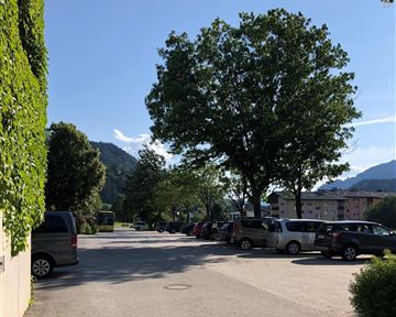
  • Heading from Wörgl, Kufstein or St. Johann on the B178 road, take the exit to Söll and then take the exit to Söll centre (“Söll, Zentrum”) at the roundabout. Turn left immediately afterwards and follow the road. Then turn right at the next intersection (opposite SPAR supermarket). West Pölven public car park is located to the east of the supermarket car park. The Tourist Info is in the pedestrianised zone.

  • West Pölven public car park, Söll (689 m) – free

Read more

  • Fitness

  • Technical

Best seasons

  • 01

    Jan

  • 02

    Feb

  • 03

    Mrz

  • 04

    Apr

  • 05

    May

  • 06

    Jun

  • 07

    Jul

  • 08

    Aug

  • 09

    Sep

  • 10

    Oct

  • 11

    Nov

  • 12

    Dec

Videos

Refreshment stops & infrastructure

More tours

Circuit around Going

Circuit around Going

The circuit around Going is a lengthy and demanding tour with a great variety of different sections.

Tourist Information Office, Going (766 m)

Tourist Information Office, Going (766 m)

Jogging

Intermediate

1:25 h

11,2 km

280 Elevation gain

Hartkaiserweg trail Ellmau

Hartkaiserweg trail Ellmau

Ellmau village park - Hartkaiserbahn valley station - Bergschenke - Rübezahlalm - Jägerhütte - Hartkaiser summit station

Hiking starting point Tourist Info, Ellmau (800 m)

Hartkaiser summit station, Ellmau (1,555 m)

Jogging

Intermediate

8,2 km

720 Elevation gain

Kaiser Marathon

Kaiser Marathon
Kaiser Marathon
Kaiser Marathon

The Kaiser Marathon - 42 km and 2,300 metres of elevation gain. A welcome challenge for our top athletes!

Söll village centre

Hohe Salve mountain

Jogging

Intermediate

42,0 km

2260 Elevation gain

Weather

Today

2024-03-29

16 °C

  • Valley
  • 15 km/h
  • 12° Mountain
  • 0 %

Tomorrow

2024-03-30

20 °C

  • Valley
  • 15 km/h
  • 14° Mountain
  • 20 %

The day after tomorrow

2024-03-31

16 °C

  • Valley
  • 10 km/h
  • 10° Mountain
  • 70 %

2024-04-01

2024-04-01

10 °C

  • Valley
  • 10 km/h
  • 10° Mountain
  • 85 %
More

Contact

If you have any questions,we are happy to help.

+43 50509
or