Deutsch
 English
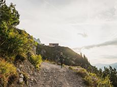
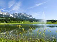
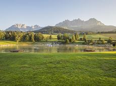
SkiWelt Panoramic Trail
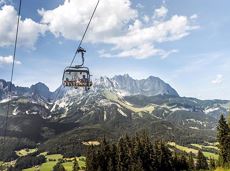
The highlight for everyone who loves hiking for pleasure - lush Alpine meadows, sparkling mountain lakes and delightful food in the Kitzbühel Alps. And the Bergbahnen Wilder Kaiser - Brixental summer cable cars make the ascent and descent easy.
Astberg, Going
Hochsöll
Wandelen
Gemakkelijk
6:45 u
20,0 km
720 Hoogtemeters