

Opa Highway route
400,00 m

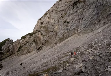
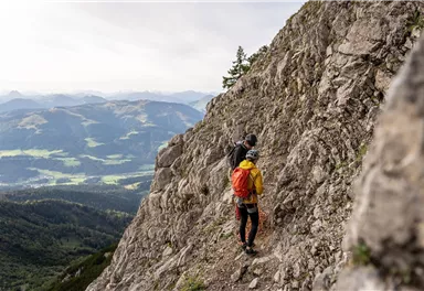
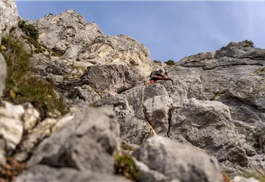


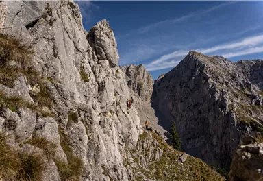
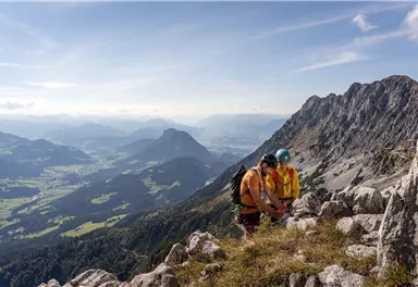
Route
400,00 m
What to do in an emergency? Call emergency number
140 - Mountain Rescue (Bergrettung)
112 - European Emergency Number
133 - Police
144 - Ambulance
Many routes have rescue points at the hiking signs, which can be used as a clear location identification in an emergency.
The Alpine Club provides tips for optimal preparation for mountain hiking.
SOS-EU-Alp App
The SOS EU ALP app allows you to determine your location (x,y coordinates) via your smartphone. In an emergency, this location data can be sent directly to the responsible control center (Tyrol, South Tyrol or Bavaria).
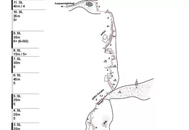
Description
Developed by
H. Haselsberger, H. Zott; 2014
Elevation of starting point
1700
Climbing time (guideline)
4,0
Wall height
300,0
Elevation of starting point
1650
Exposure S
Walk time to entry point (guideline)
2,0
Number of rope lengths
12
Elevation of exit point
2000


Current Weather
Today
2026-06-01
Morning
8 °C
Afternoon
9 °C
Evening
11 °C
Tomorrow
2026-06-02
Morning
13 °C
Afternoon
16 °C
Evening
11 °C
Wednesday
2026-06-03
Morning
5 °C
Afternoon
6 °C
Evening
7 °C
Thursday
2026-06-04
Morning
10 °C
Afternoon
14 °C
Evening
11 °C
Friday
2026-06-05
Morning
8 °C
Afternoon
9 °C
Evening
7 °C
Saturday
2026-06-06
Morning
8 °C
Afternoon
11 °C
Evening
11 °C
Sunday
2026-06-07
Morning
12 °C
Afternoon
14 °C
Evening
13 °C
Monday
2026-06-08
Morning
12 °C
Afternoon
15 °C
Evening
13 °C
Tuesday
2026-06-09
Morning
13 °C
Afternoon
15 °C
Evening
13 °C
Wednesday
2026-06-10
Morning
12 °C
Afternoon
15 °C
Evening
12 °C
Thursday
2026-06-11
Morning
12 °C
Afternoon
14 °C
Evening
13 °C
Friday
2026-06-12
Morning
12 °C
Afternoon
15 °C
Evening
13 °C
Saturday
2026-06-13
Morning
12 °C
Afternoon
14 °C
Evening
12 °C
Sunday
2026-06-14
Morning
12 °C
Afternoon
14 °C
Evening
12 °C
Last updated at 06/01/2026, 02:00 AM
Contact
Contact
You have questions? We are happy to assist you.


