Deutsch
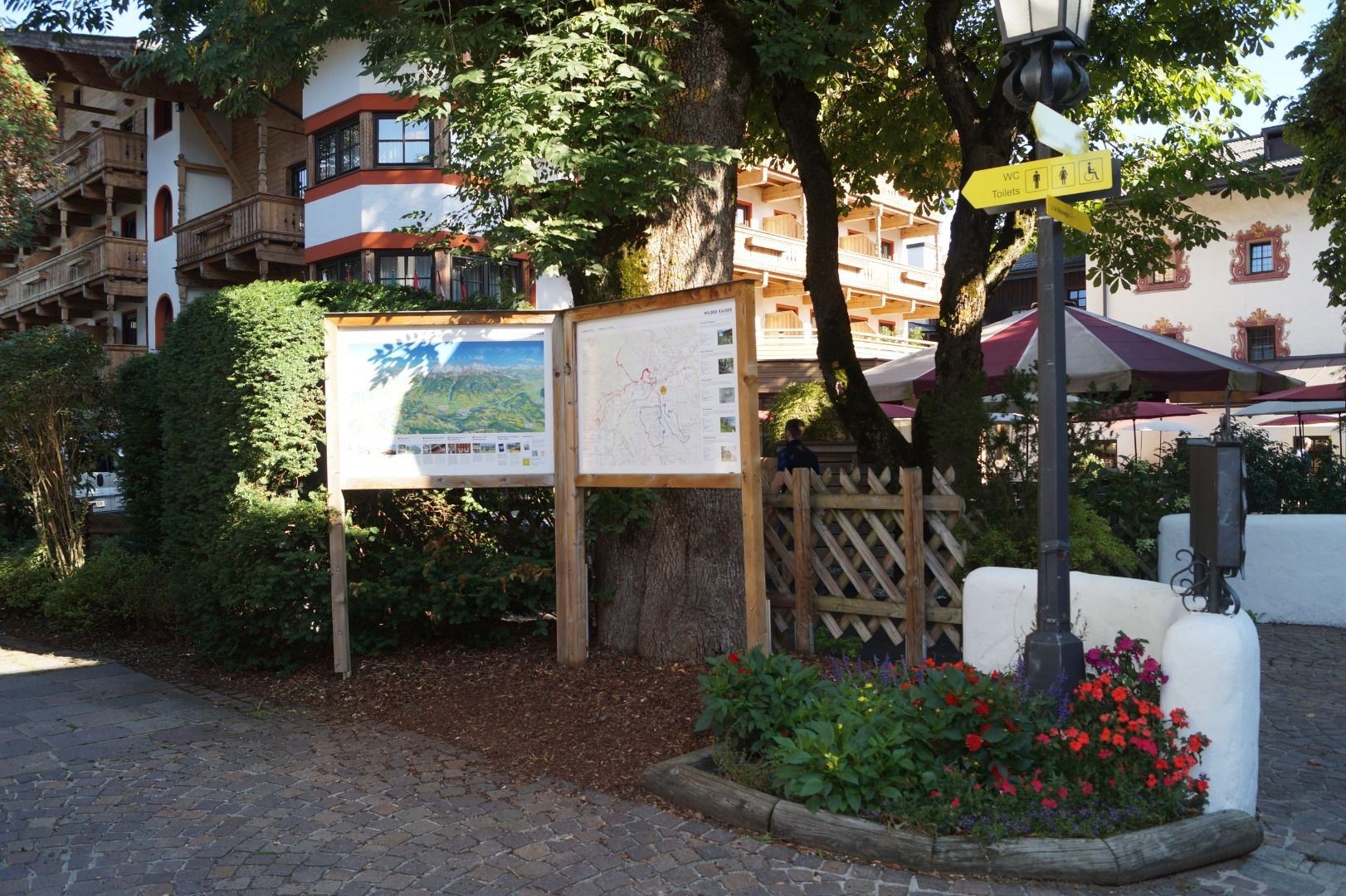
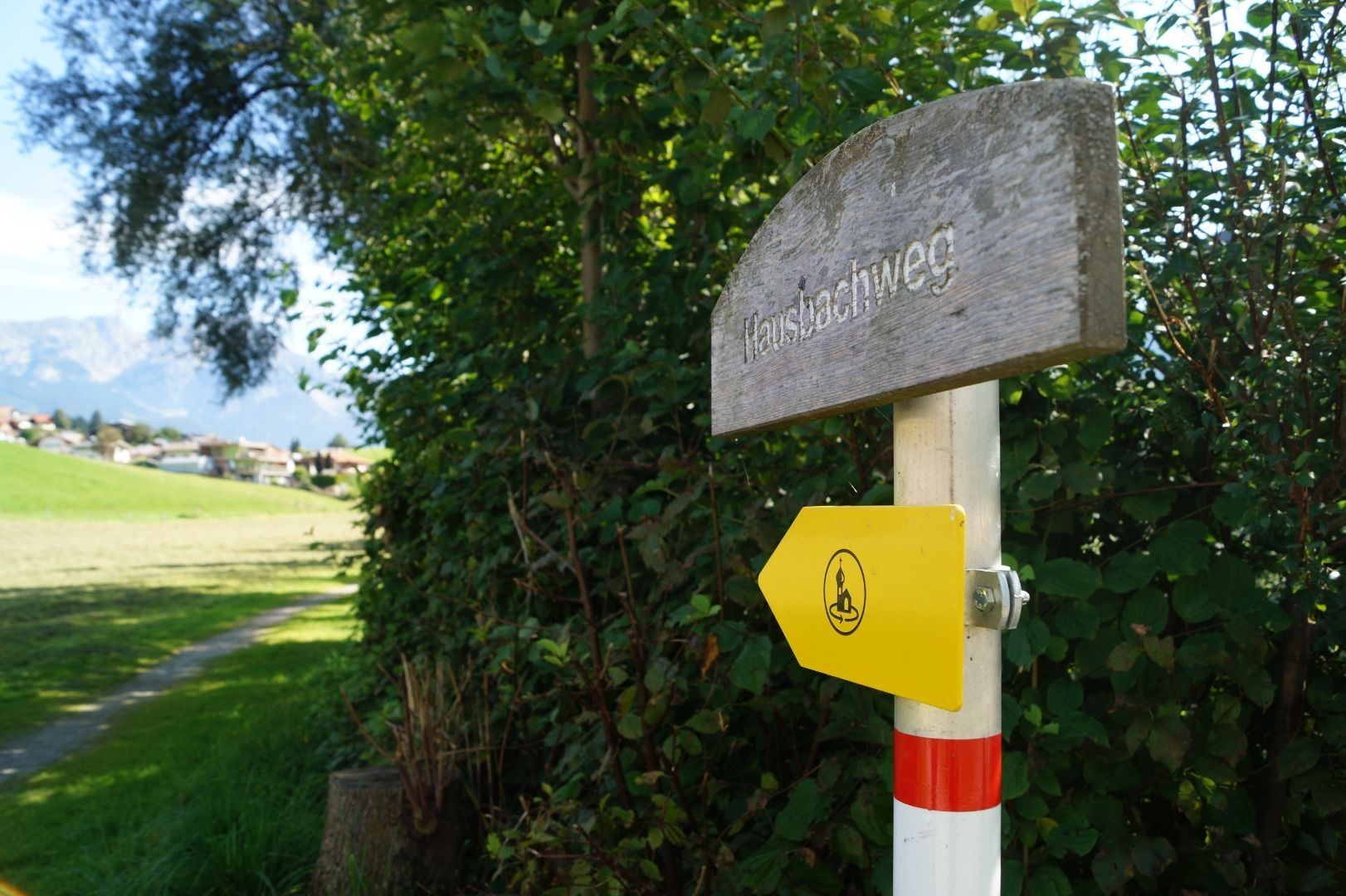
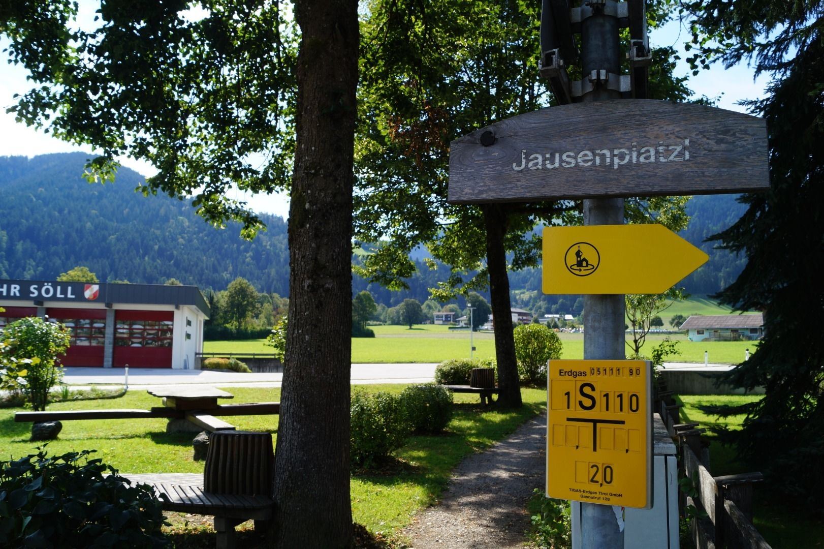
Parking area West Pölven, Söll
Söll
(0043) 5333 5210
Read more
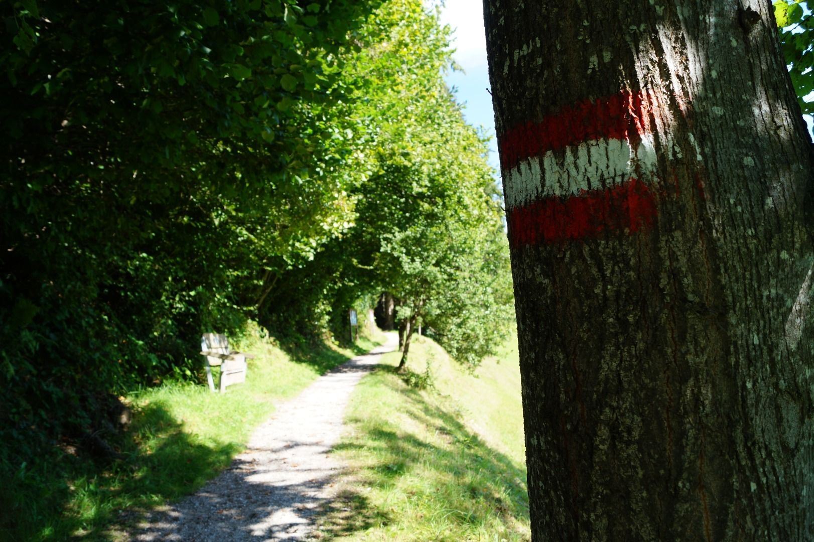
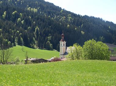
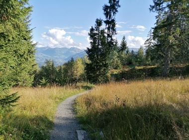
The composition of the trail varies between asphalt and meadow path.
Sturdy footwear, sun or rain protection depending on the weather, water bottle, hiking poles if desired
Read more
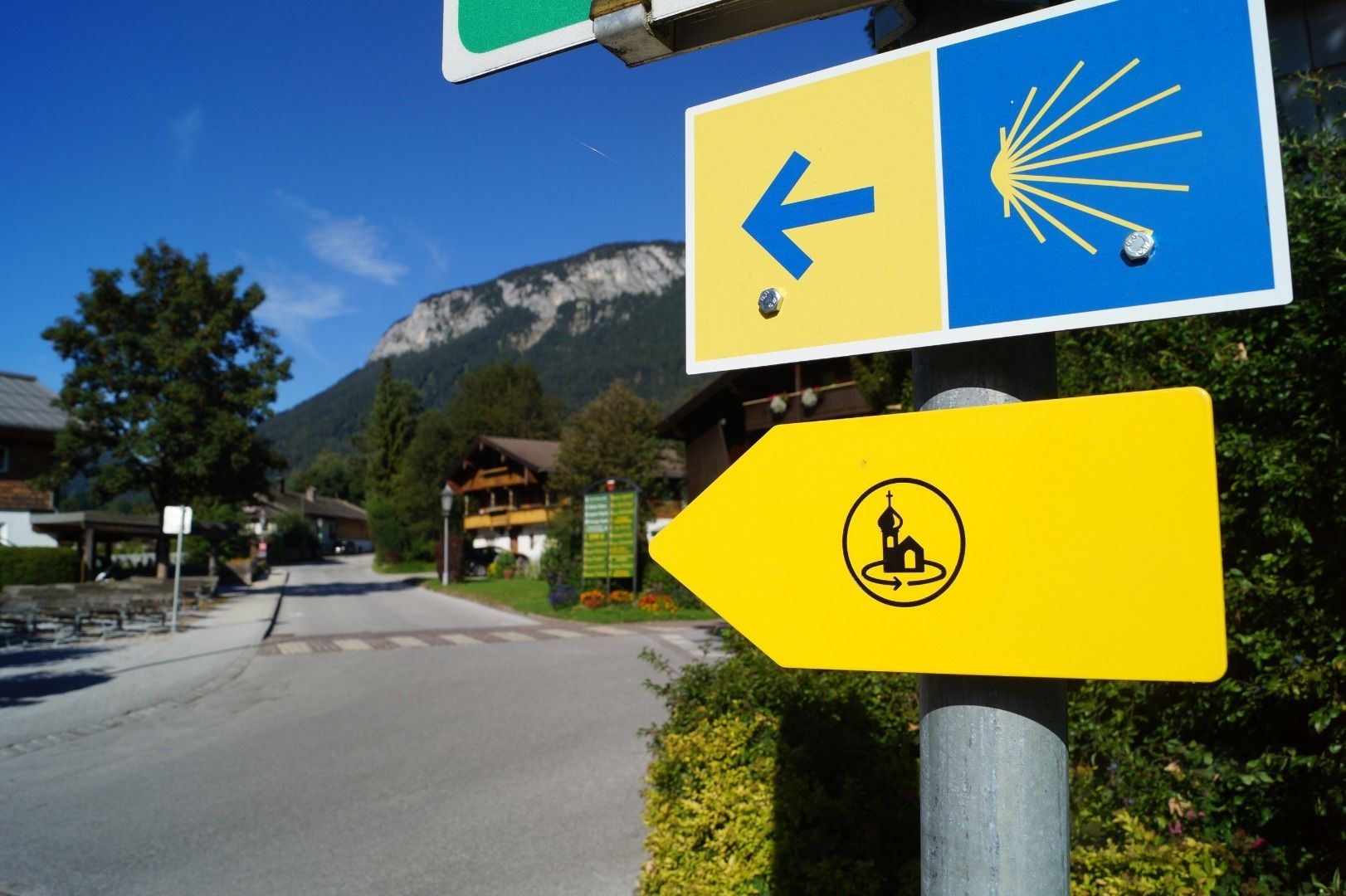
KaiserJet/Postbus stop “Söll Dorf”.
More information at www.wilderkaiser.info/mobility
Heading from Wörgl, Kufstein or St. Johann on the B178 road, take the exit to Söll and then take the exit to Söll centre (“Söll, Zentrum”) at the roundabout. Turn left immediately afterwards and follow the road. Then turn right at the next intersection (opposite SPAR supermarket). West Pölven public car park is located to the east of the supermarket car park. The Tourist Info is in the pedestrianised zone.
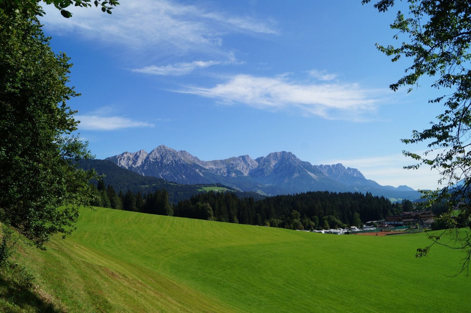
West Pölven public car park, Söll (689 m) – free
Read more
Fitness
Technical
Experience
01
Jan
02
Feb
03
Mrz
04
Apr
05
May
06
Jun
07
Jul
08
Aug
09
Sep
10
Oct
11
Nov
12
Dec
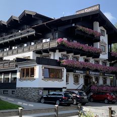
Söll
(0043) 5333 5210
Open - Today 14:00 - 22:00
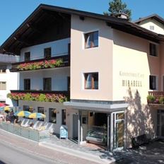
Söll
0043 6642040771
Open - Today 13:00 - 19:00
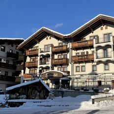
Söll
(0043) 5333 5289
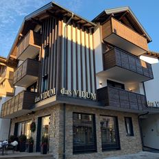
Söll
(0043) 5333 5117
Open - Today 11:00 - 22:00
Söll
(0043) 5333 5907
Söll
(0043) 6644945726
Open - Today 11:00 - 14:00, 16:30 - 23:00
Söll
(0043) 5333 20590
Easy, flat circular path through the sunny village part Prama for walkers families with pushchairs.
Hiking starting point Going center (former tourist information Going) (764 m)
Hiking starting point Going center (former tourist information Going) (764 m)
Hiking
Easy
1:00 h
3,9 km
30 Elevation gain
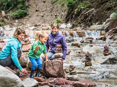
Hikers, young and old alike, will find in this wild romantic gorge natural playgrounds such as bridges and balancing beams by streams and ponds.
Hiking starting point Tourist Info, Scheffau (738 m)
Hiking starting point Tourist Info, Scheffau (738 m)
Hiking
Easy
1:15 h
3,5 km
130 Elevation gain
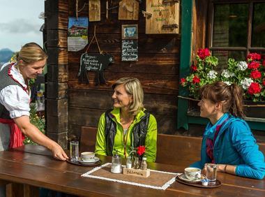
Culinary tour on the Hohe Salve
Bergstation Rabennest (1.150 m)
Bergstation Rabennest (1.150 m)
Hiking
Easy
1:30 h
4,0 km
160 Elevation gain
Circuit tour with breathtaking panorama
Astberg Bergstation
Astberg Bergstation
Hiking
Easy
1:20 h
4,1 km
140 Elevation gain
Leisurely hike through forest and across meadows to the sunny plateau of Going and back
Hiking starting point Going center (former tourist information Going) (764 m)
Hiking starting point Going center (former tourist information Going) (764 m)
Hiking
Easy
1:15 h
4,1 km
70 Elevation gain
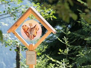
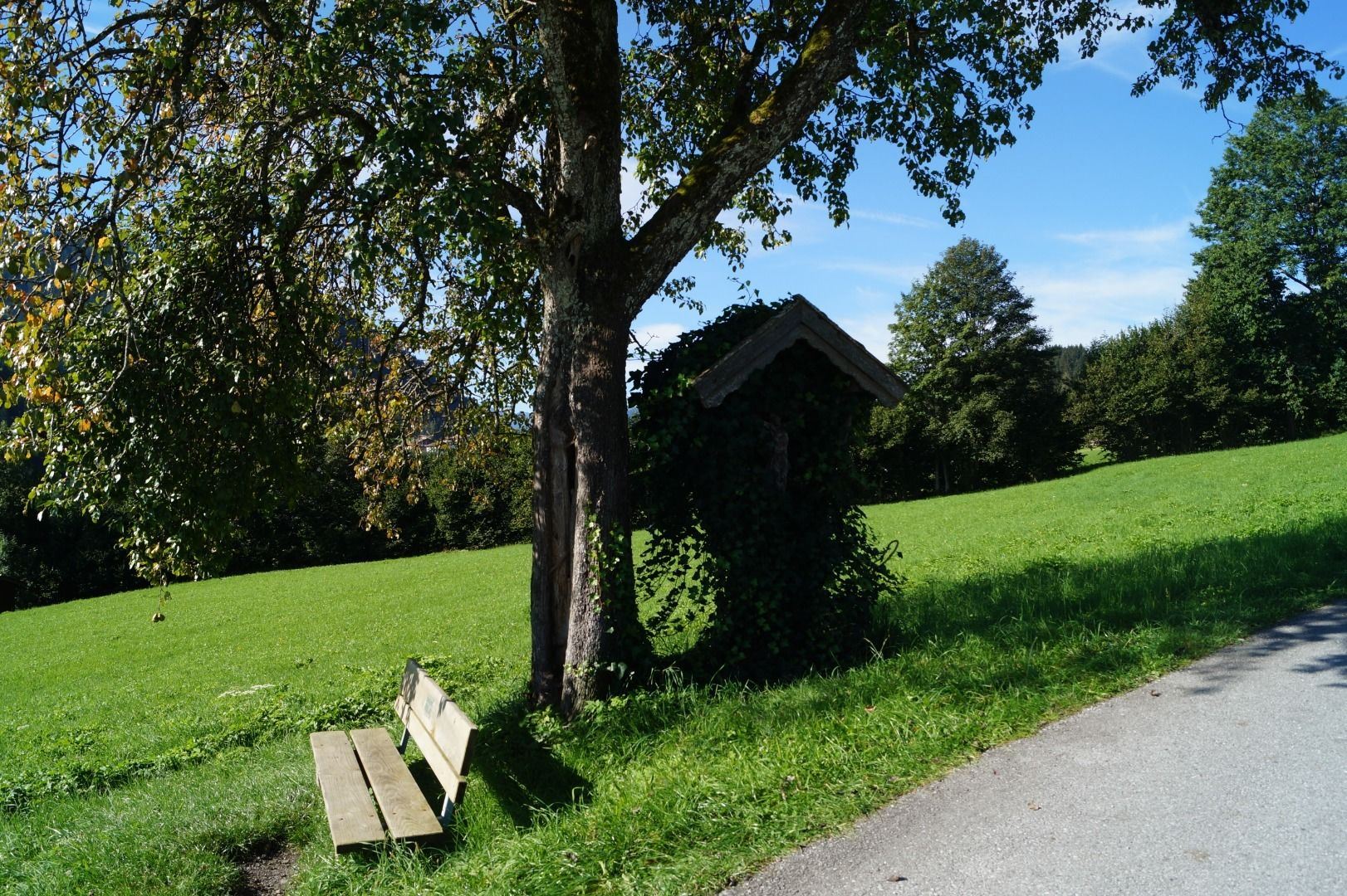
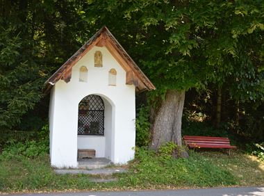
Leisurely path of reflection to the St. Anna chapel at Lengau
Parkplatz Liftstation Itter (655 m)
Lengauer Kapelle
Hiking
Easy
1:15 h
3,2 km
270 Elevation gain
2025-06-09
10 °C
2025-06-10
23 °C
2025-06-11
23 °C
2025-06-12
26 °C