Schwaiglerkogel circular hiking route

Schwaiglerkogel circular hiking route

Schwaiglerkogel circular hiking route

Description

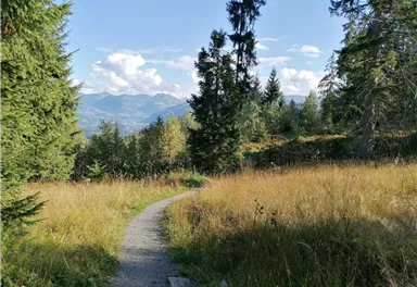
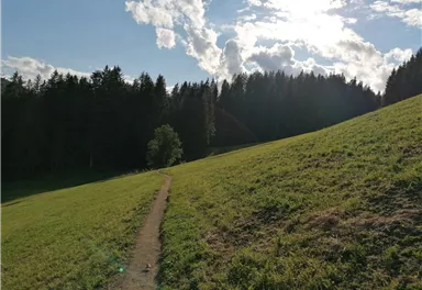
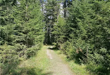
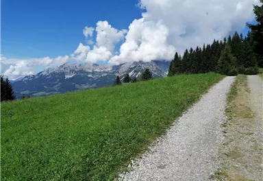
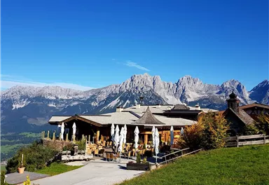
This tour starts with the comfortable ascent of the Astbergbahn. At the top you hike left past the Pony Alm over meadows and through forests. Via the village of Kathen you walk along a gravel road until you reach the asphalted "Lierstätt Kreuzung". At this crossroads you continue walking on the right past the Lierstätt farm in the direction of the Brenner Alm. The Brenner Alm is an excellent place to stop for a break - with a fantastic view of the Wilder Kaiser. From now on you can decide whether you want to take the easier path via the forest road back to the mountain station Astbergbahn, or via the Schwaiglerkogel.
 

Read more

Information

  • The composition of the trail varies between asphalt, forest road, road, path, meadow path, forest trail.

  • Rucksack, sturdy hiking/mountaineering boots with anti-slip treaded soles, weather-appropriate hiking gear (breathable, sun protection (sunglasses, sun cream, lip protection, headgear), waterproofs (rain jacket/poncho, pocket umbrella, rucksack protector), cold protection (hat, gloves), sufficient food and drink, hiking poles (height adjustable), mobile phone with fully charged battery, plastic bag for waste, ID, insurance card, cash

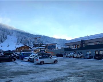
  • Heading from Wörgl or Kufstein on the B178 road, take the first exit on the right after Ellmau – this leads to the Astbergbahn chairlift. Turn left at the end of this road. You will reach the Astbergbahn chairlift after approx. 300 m.


    Heading from St. Johann on the B178 road, take the first exit on the left after Going (Hotel Blattlhof) – this leads to the Astbergbahn chairlift. Turn left again at the end of this road. You will reach the Astbergbahn chairlift after approx. 300 m.

  • Car park Astbergbahn chairlift valley station, Going (805 m) – free

Read more

Refreshment stops & infrastructure

More tours

Village tour Going

Village tour Going
Village tour Going
Village tour Going

Hiking starting point Going center (former tourist information Going) (764 m)

Hiking starting point Going center (former tourist information Going) (764 m)

4,2 km

Discover the most natural place at the Wilder Kaiser.

Hiking

Easy

1:15 h

80 Elevation gain

Prama circular hiking route

Prama circular hiking route

Hiking starting point Going center (former tourist information Going) (764 m)

Hiking starting point Going center (former tourist information Going) (764 m)

3,9 km

Easier and more level circular walk through the sunny district of Prama for walkers or families with pushchairs.

Hiking

Easy

1:00 h

60 Elevation gain

Village tour Scheffau

Village tour Scheffau

Hiking starting point Tourist Info, Scheffau (738 m)

Hiking starting point Tourist Info, Scheffau (738 m)

4,3 km

Round tour through Scheffau with vitalising stations for refreshment and relaxation.

Hiking

Easy

1:15 h

90 Elevation gain

Schwendt circuit

Schwendt circuit
Schwendt circuit
Schwendt circuit

Hiking starting point Going center (former tourist information Going) (764 m)

Hiking starting point Going center (former tourist information Going) (764 m)

4,4 km

Pleasant hike through forests and meadows to the Sonnenplateau in Going

Hiking

Easy

1:15 h

80 Elevation gain

Contact

If you have any questions,we are happy to help.

+43 50509
or