Deutsch
 English
Asten circuit

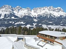
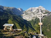
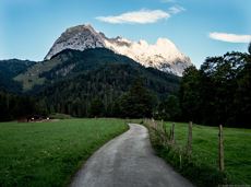
From Going to the Astberg with a small altitude loop & impressive panoramic view.
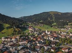
Hiking starting point Going center (former tourist information Going) (764 m)
Hiking starting point Going center (former tourist information Going) (764 m)
Wandelen
Gemakkelijk
3:30 u
8,6 km
560 Hoogtemeters