Snowcrystal circuit route

Snowcrystal circuit route

Snowcrystal circuit route

Description


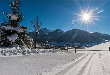
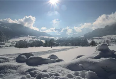
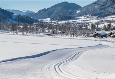
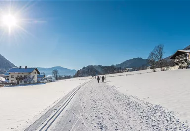
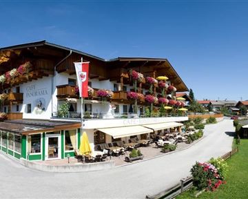
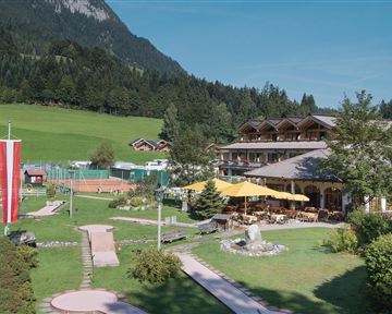
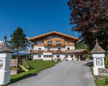
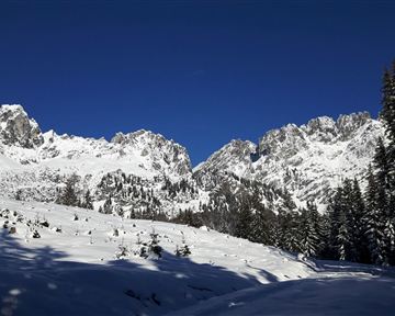
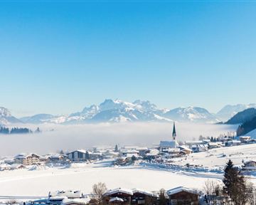
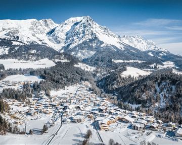
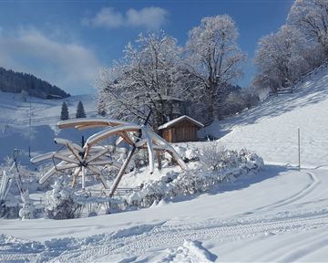
The name says it all - lots of snow and sun will accompany you along the way, almost at any time of the day. The view of the Söller village is framed by the Wilder Kaiser, the Hohe Salve and the Pölven massif. It starts at the Franzlhof in Söll (or alternatively at the Alpine panorama) along the prepared winter hiking trail to the Lederer farm. From there it goes on to the Badhaus and from there to the Alpenschlössl & Hochfilzer. You return to the Franzlhof on the prepared winter hiking trail. If you want, you can also start the tour in the center of Söll - here you follow the winter hiking trail over the Wies district on the left to the Lederer and on the return turn right at the Pirchmoos Chapel to get back to the starting point.

Read more

Information

  • Winter hiking path

  • Sturdy mountaineering boots with anti-slip treaded soles (waterproof), weather-appropriate outdoor gear (breathable) incl. a change of clothes, sun protection (sunglasses, sun cream, lip protection, headgear), waterproofs (rain jacket/poncho, pocket umbrella, rucksack protector), cold protection (hat, gloves), mobile phone with fully charged battery, plastic bag for waste, hiking map, route description and information materials (GPX track), ID card, insurance card, cash

  • Heading from Wörgl, Kufstein or St. Johann on the B178 road, take the exit to Söll and then take the exit to Söll centre (“Söll, Zentrum”) at the roundabout. Drive straight through the village and bear right before the “Giovanni” pizzeria. Follow the road until you reach the hiking starting point at the Franzlhof leisure centre.

  • Franzlhof leisure centre car park, Söll (703 m) – free

Read more

Refreshment stops & infrastructure

More tours

Wochenbrunnweg

Wochenbrunnweg
Wochenbrunnweg
Wochenbrunnweg

Hiking starting point Tourist Information Office, Ellmau (800 m)

Hiking starting point Tourist Information Office, Ellmau (800 m)

9,0 km

A wild and romantic walk through the Kaiserwald forest with its wildlife park and cosy, traditional Tirolean parlour.

Hiking

Intermediate

3:30 h

300 Elevation gain

Crystal clear streams

Crystal clear streams

Hiking starting point Tourist Info, Scheffau (738 m)

Hiking starting point Tourist Info, Scheffau (738 m)

4,2 km

Atmospheric forest walk along the snow-white creek.

Hiking

Intermediate

2:00 h

160 Elevation gain

Hartkaiserweg trail

Hartkaiserweg trail
Hartkaiserweg trail
Hartkaiserweg trail

Hiking starting point Tourist Information Office, Ellmau (800 m)

Hiking starting point Tourist Information Office, Ellmau (800 m)

10,1 km

Hike with lift via four mountain huts (Bergkaiser, Jägerhütte, Rübezahl-Alm and Hochschwendt)

Hiking

Intermediate

4:00 h

40 Elevation gain

Hollenauer Kreuz winter hiking route

Hollenauer Kreuz winter hiking route

Hiking starting point Going center (former tourist information Going) (764 m)

Hiking starting point Going center (former tourist information Going) (764 m)

10,7 km

Climb to the best viewpoint in the mountains, where the Wilder Kaiser is within touching distance.

Hiking

Intermediate

4:30 h

360 Elevation gain

Contact

If you have any questions,we are happy to help.

+43 50509
or