Deutsch
 English
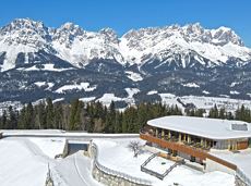
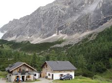
From the Kaiser-Hochalm to the Seilabodenkreuz
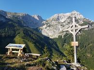
Alpine pasture circular hiking route with a breathtaking view over Scheffau!
Hiking starting point Tourist Info, Scheffau (738 m)
Hiking starting point Tourist Info, Scheffau (738 m)
Wandelen
Normaal
5:15 u
12,9 km
800 Hoogtemeters