

Kaiserkrone long-distance hike
Kaiserkrone - stage 4
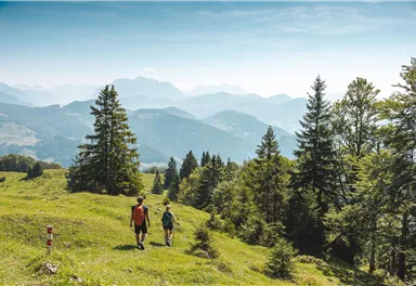
Stripsenjochhaus – Stripsenkopf – Feldberg – Scheibenbichlalmen – Griesenau – Gasteig
Medium
16,10 km
640 m
06:30 h


Medium
Route
16,10 km
640 m
1470 m
06:30 h
1813 m
Starting Point
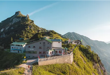
Stripsenjochhaus, St. Johann in Tirol (1,577 m)
End Point
Gasteig (750 m)
What to do in an emergency? Call emergency number
140 - Mountain Rescue (Bergrettung)
112 - European Emergency Number
133 - Police
144 - Ambulance
Many routes have rescue points at the hiking signs, which can be used as a clear location identification in an emergency.
The Alpine Club provides tips for optimal preparation for mountain hiking.
SOS-EU-Alp App
The SOS EU ALP app allows you to determine your location (x,y coordinates) via your smartphone. In an emergency, this location data can be sent directly to the responsible control center (Tyrol, South Tyrol or Bavaria).
Description
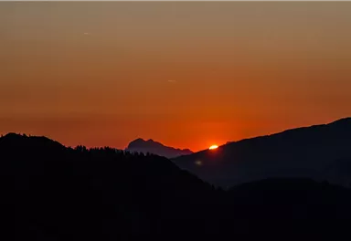
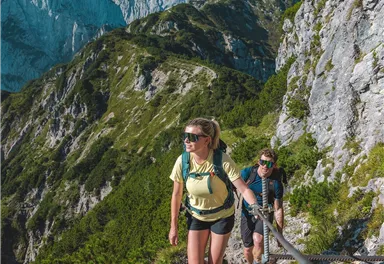
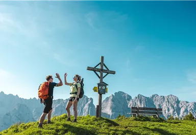
At the Stripsenjochhaus mountain hut, you can also enjoy the wonderful colours of nature that accompany the sunrise!
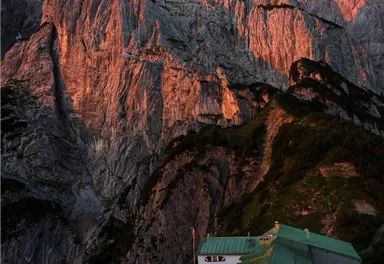
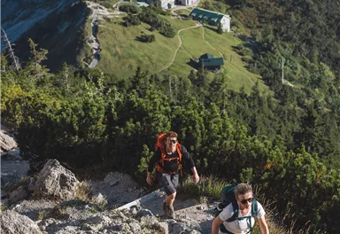
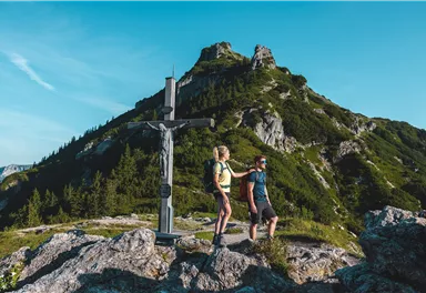
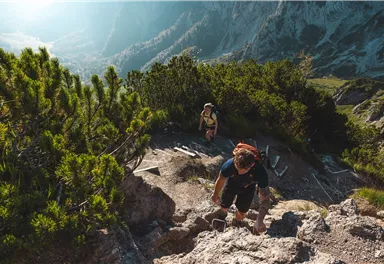
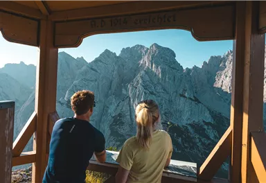
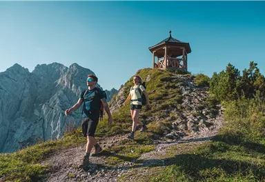
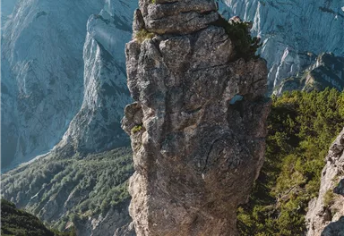
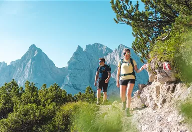
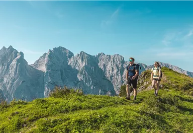
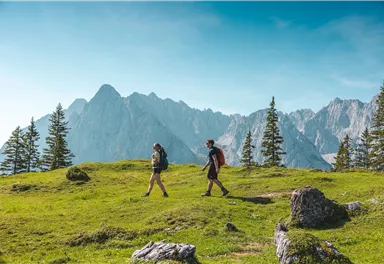
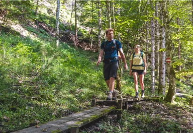
Take path 825 and head north via a ridge that is overgrown with mountain pines. At the Feldberg/Stripsenkopf turnoff, keep right and head in the direction of Feldberg. When you reach the next turnoff, walk west for around 10-15 minutes until you come to the viewing pavilion of the Stripsenkopf mountain (1,807 m). This is an excellent place to enjoy the full might of the summits and rock faces in the Wilder Kaiser region! On...
Best Season
Jan
Feb
Mar
Apr
May
Jun
Jul
Aug
Sep
Oct
Nov
Dec
Skill Level
Endurance
Multiday hike
Multi-Day Tour Feature
Etappe
Additions for overnight stay at mountain hut:
Mountain hut sleeping bag, indoor shoes, toiletries and towel, personal medication, headlamp, Alpine Club ID Card, cash, charger for mobile phone The hiking routes between the huts are often rather long, we recommend taking plenty of food and drink and booking your overnight stays well in advance.
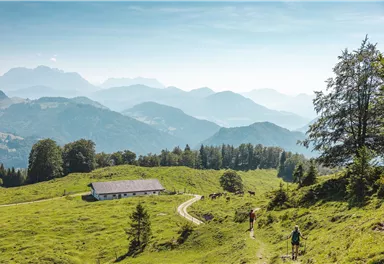
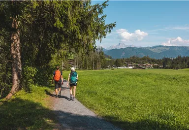
Tip: Postbus and show dairy
Tired hikers can use the public bus service 4000 to complete the final part of their journey from Griesenau to Gasteig, where they can visit the “Wilder Käser” show dairy.

Current Weather
Tuesday
2026-05-12
Morning
1 °C
Afternoon
-2 °C
Evening
-1 °C
Today
2026-05-13
Morning
Afternoon
5 °C
Evening
4 °C
Tomorrow
2026-05-14
Morning
1 °C
Afternoon
2 °C
Evening
Friday
2026-05-15
Morning
1 °C
Afternoon
4 °C
Evening
2 °C
Saturday
2026-05-16
Morning
1 °C
Afternoon
2 °C
Evening
1 °C
Sunday
2026-05-17
Morning
Afternoon
2 °C
Evening
3 °C
Monday
2026-05-18
Morning
3 °C
Afternoon
5 °C
Evening
4 °C
Tuesday
2026-05-19
Morning
4 °C
Afternoon
6 °C
Evening
6 °C
Wednesday
2026-05-20
Morning
6 °C
Afternoon
9 °C
Evening
7 °C
Thursday
2026-05-21
Morning
7 °C
Afternoon
10 °C
Evening
8 °C
Friday
2026-05-22
Morning
8 °C
Afternoon
10 °C
Evening
8 °C
Saturday
2026-05-23
Morning
8 °C
Afternoon
10 °C
Evening
9 °C
Sunday
2026-05-24
Morning
8 °C
Afternoon
11 °C
Evening
10 °C
Monday
2026-05-25
Morning
8 °C
Afternoon
12 °C
Evening
10 °C
Last updated at 05/12/2026, 02:00 PM
Contact
Contact
You have questions? We are happy to assist you.


