

Laufstrecke
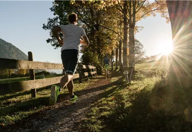
Trailrunning
Running tracks
Trailrunning
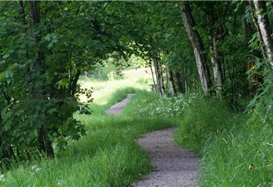
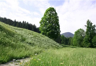
Schattseittrail
The Schattseit trail, mystical and refreshing in equal measure, is a section of the infamous Kaisermarathon, probably the toughest mountain marathon in the Alps.
Easy
12,80 km
330 m
Easy
Route
12,80 km
330 m
904 m
Starting Point
Tourismus Info, Söll
End Point
Tourismus Info, Söll
What to do in an emergency? Call emergency number
140 - Mountain Rescue (Bergrettung)
112 - European Emergency Number
133 - Police
144 - Ambulance
Many routes have rescue points at the hiking signs, which can be used as a clear location identification in an emergency.
The Alpine Club provides tips for optimal preparation for mountain hiking.
SOS-EU-Alp App
The SOS EU ALP app allows you to determine your location (x,y coordinates) via your smartphone. In an emergency, this location data can be sent directly to the responsible control center (Tyrol, South Tyrol or Bavaria).
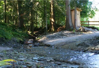
Description
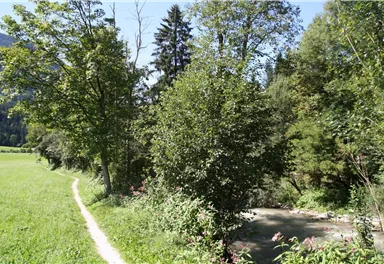
After the Gasthof Bocking inn there is again a fast asphalted flat part...
Best Season
Jan
Feb
Mar
Apr
May
Jun
Jul
Aug
Sep
Oct
Nov
Dec
Skill Level
Endurance
More information at: www.wilderkaiser.info/mobil


Current Weather
Today
2026-05-13
Morning
2 °C
Afternoon
5 °C
Evening
4 °C
Tomorrow
2026-05-14
Morning
1 °C
Afternoon
1 °C
Evening
Friday
2026-05-15
Morning
Afternoon
2 °C
Evening
1 °C
Saturday
2026-05-16
Morning
Afternoon
1 °C
Evening
Sunday
2026-05-17
Morning
Afternoon
3 °C
Evening
3 °C
Monday
2026-05-18
Morning
3 °C
Afternoon
5 °C
Evening
4 °C
Tuesday
2026-05-19
Morning
4 °C
Afternoon
6 °C
Evening
6 °C
Wednesday
2026-05-20
Morning
6 °C
Afternoon
9 °C
Evening
8 °C
Thursday
2026-05-21
Morning
8 °C
Afternoon
11 °C
Evening
9 °C
Friday
2026-05-22
Morning
9 °C
Afternoon
12 °C
Evening
10 °C
Saturday
2026-05-23
Morning
9 °C
Afternoon
13 °C
Evening
10 °C
Sunday
2026-05-24
Morning
9 °C
Afternoon
13 °C
Evening
10 °C
Monday
2026-05-25
Morning
9 °C
Afternoon
13 °C
Evening
11 °C
Tuesday
2026-05-26
Morning
10 °C
Afternoon
14 °C
Evening
11 °C
Last updated at 05/13/2026, 02:00 PM
Contact
Contact
You have questions? We are happy to assist you.


