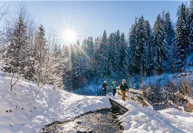
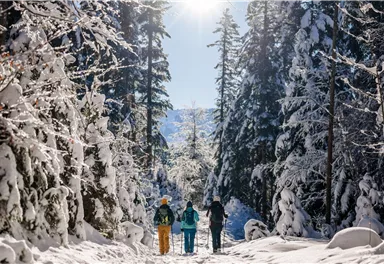
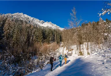
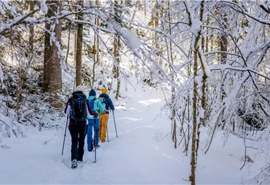
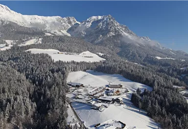
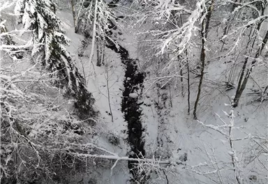
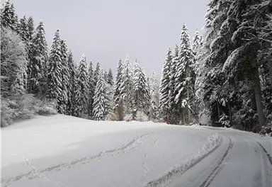
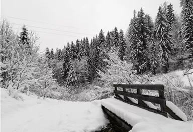
Ellmi's winter circuit
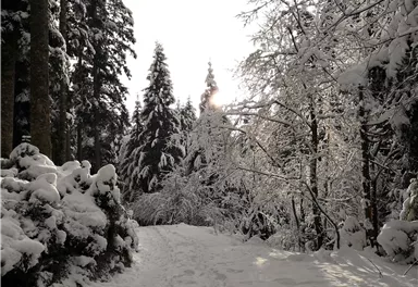
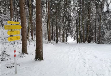
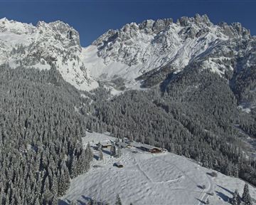
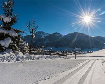
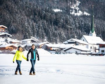
A short winter walk on Hartkaiser hrough Ellmi's magical world.
Hiking starting point Tourist Info, Ellmau (800 m)
Hiking
0:30 h
1,0 km
25 Elevation gain
We are sorry, your requested page is not available. You can start a new search on this page!
A short winter walk on Hartkaiser hrough Ellmi's magical world.
Hiking starting point Tourist Info, Ellmau (800 m)
Hiking
0:30 h
1,0 km
25 Elevation gain
Hikers exploring Tirol on foot will feel as free as a bird. The eagle walk is one of the 'Great Walks' of Tyrol chosen by a jury. They offer hikers the chance to get away from it all, discover the beauty of nature and experience a true adventure in the Alps.
St. Johann in Tirol
Arlbergpass
Hiking
Difficult
426,0 km
30000 Elevation gain
Ellmau hiking info - Gasthof Au - Forstmeile Ellmau
District "Steinerner Tisch", Ellmau
Jogging
Easy
1,9 km
75 Elevation gain
Going, Hüttling - Schleierwasserfall - Obere Regalm - Baumgartenköpfl (Bergsteigergrab) - Gaudeamushütte
Hiking starting point Hüttling, Going (820 m)
Gaudeamushütte, Going (1,263 m)
Hiking
Intermediate
4:00 h
7,3 km
860 Elevation gain
A leisurely circular trail along the sunny side of Ellmau. This is a lovely walk along the picturesque Kaiserloipe with views of the majestic mountains. An easy hike for the whole family.
Hiking starting point Tourist Info, Ellmau (800 m)
Hiking
1:45 h
5,1 km
40 Elevation gain
Number of rope lengths10
Access time1,5
Alpine climbing route
Multi-rope length difficulty levels6
Picturesque circular hiking trail on the sunny side of Going in unspoilt nature - over snow fields with fantastic views of Going aht the Wilder Kaiser.
Hiking starting point Going center (former tourist information Going) (764 m)
Hiking
1:45 h
4,8 km
80 Elevation gain
Moderately difficult ascent route along the ski route 80c/d to the Hartkaiser.
Hartkaiserbahn valley station, Ellmau (824 m)
Hartkaiserbahn mountain station, Ellmau (1.524 m)
Ski tour
Intermediate
2:30 h
4,2 km
700 Elevation gain
Hike to the Gaudeamushütte mountain hut by the Wilder Kaiser
Wochenbrunner Alm, Ellmau (1,085 m)
Gaudeamushütte, Going (1,263 m)
Hiking
Easy
0:35 h
1,3 km
175 Elevation gain
Varied beginner trail round between the Kaiser towns of Ellmau and Going.
Wanderstartplatz Tourismus Info, Ellmau
Jogging
Easy
9,7 km
500 Elevation gain
Ellmau hiking info - Church - Gasthof Au - Forstmeile Ellmau
Hiking starting point Tourist Info, Ellmau (800 m)
Jogging
Easy
5,5 km
150 Elevation gain
The ski hiking route is purely flat, which also means it's great for everybody.
restaurant Oberstegen, Söll
village, Scheffau
Cross-country skiing
Easy
1,4 km
15 Elevation gain
A classic amongst the via ferratas on the Wilder Kaiser massif – ideal as a 2-day tour.
Access time3,5
Via ferrata
Difficulty levelD
Via ferrara length675,0 m
Access time0,08333333333333333
Via ferrata
Difficulty levelD-E
Via ferrara length150,0 m
Number of rope lengths8
Access time2,0
Alpine climbing route
Multi-rope length difficulty levels8-
Access time0,16666666666666666
Via ferrata
Difficulty levelB-C
Via ferrara length200,0 m
A scenic circuit past Gieringer Weiher pond, Schwarzsee lake and Going bathing lake.
Tourist Info, Going (764 m)
Cycling
Intermediate
40,1 km
460 Elevation gain
Gentle walking or running course in Ellmau
Hiking starting point Tourist Info, Ellmau (800 m)
Jogging
Easy
0:20 h
3,0 km
54 Elevation gain
A picturesque mountain hike that leads from the turquoise waters of the most beautiful mountain lake in Tirol up to the rustic Alpine village.
Hiking starting point Seestüberl, Scheffau (890 m)
Hiking
Intermediate
3:15 h
9,3 km
360 Elevation gain
Embark on a sunny cross-country safari in the snowfields around the Sölllandl.
Spar super market Söll
Cross-country skiing
Intermediate
5,9 km
70 Elevation gain
Short tour with varied paths and views
Hiking starting point Tourismus Info, Scheffau (737 m)
Hiking
Easy
2:00 h
5,8 km
230 Elevation gain
Number of rope lengths12
Access time2,0
Alpine climbing route
Multi-rope length difficulty levels6+ (6-/A0)
Hike from the Kaiserlift mountain station via the Kaindlhütte and Walleralm to Hintersteiner See.
Mountain station Kaiserlift, Kufstein (1256 m)
Hiking starting point Seestüberl, Scheffau (890 m)
Hiking
Intermediate
3:20 h
8,8 km
340 Elevation gain
Number of rope lengths12
Access time2,0
Alpine climbing route
Multi-rope length difficulty levels3+
Hike to the Hexenwasser and get rewarded with a view.
Bergbahn valley station, Söll (724 m)
Hiking
Easy
3:00 h
7,9 km
410 Elevation gain
Hiking starting point Tourist Info, Scheffau (737 m)
Hiking
Easy
3:45 h
11,2 km
410 Elevation gain
This familyfriendly hike leads you along the panoramic trail from the Brandstadl mountain in Scheffau to the Hartkaiser mountain in Ellmau.
Brandstadlbahn mountain station, Scheffau (1,650 m) or Hartkaiserbahn mountain station, Ellmau (1.550 m)
Hiking
Easy
1:50 h
6,0 km
170 Elevation gain
Intermediate circular hike with breathtaking views on the surrounding mountains. Attention: Trail no 828 is closed due to danger of falling rocks. Detour via path no. 816 and 827 via the Obere Regalm to the Baumgartenköpfl.
Hiking starting point Tannbichl, Going (857 m)
Hiking
Intermediate
4:45 h
9,8 km
760 Elevation gain
Varied hike with cosy refreshment stops and a wonderful mountain panorama.
mountain station Salvistabahn / Kleine Salve
Middle station Salvistabahn Itter
Hiking
Intermediate
2:45 h
7,4 km
360 Elevation gain
Number of rope lengths9
Access time2,0
Alpine climbing route
Multi-rope length difficulty levels5
Grey skies and rain are no excuse: keen climbers have plenty of opportunities to push their boundaries even indoors.
Climbing room
Wilder Kaiser hike to a series of special locations. Featuring the natural spectacle of the Schleier Waterfall and a view of the Gaudeamushütte mountain hut.
Hüttling, Going (820 m)
Hiking
Intermediate
6:00 h
13,6 km
980 Elevation gain
Crystal-clear mountain lake and magnificent views of the Wilder Kaiser’s western summits
Hintersteiner See, Scheffau (890 m)
Hiking
Easy
1:30 h
5,2 km
130 Elevation gain
Ellmau hiking info point - Gasthof Au - Ellmauer Hof - Haflingertränke - Auwald - Ellmau hiking info point
Hiking starting point Tourist Info, Ellmau (800 m)
Jogging
Easy
1:30 h
9,8 km
300 Elevation gain
The panoramic spot of the locals, steep and fascinating.
Hiking starting point Franzlhof, Söll (703 m)
Hiking
Intermediate
5:00 h
8,5 km
880 Elevation gain
The best seat in the house for a view of the Wilder Kaiser!
Tourist Information Office, Going (766 m)
Cycling
Intermediate
2:00 h
7,5 km
350 Elevation gain
By bike through the culinary region Wilder Kaiser.
anywhere along the tour
Cycling
Intermediate
38,3 km
560 Elevation gain
A beautiful tour around the Kalkstein mountain and Pillersee lake.
Tourist Info, Going (764 m)
Cycling
Intermediate
66,9 km
550 Elevation gain
Snowshoe hike via the Kaiseralmen with starting and finishing at the Gasthof Jägerwirt.
Gasthof Jägerwirt, Scheffau (883 m)
Hiking
3:15 h
4,8 km
250 Elevation gain
Calling bike fans of all ability levels! The Kaiser circular cycling route is an 80-kilometre bike route through the spectacular scenery of the Kaisergebirge mountain range. An excellent network of well-signposted trails (a mix of asphalt and gravel paths) leads past idyllic nature, breathtaking panoramas and cultural sights. For relaxing moments in between stages, cool lakes and local restaurants invite you to linger and enjoy.
anywhere along the tour
Cycling
Intermediate
6:45 h
85,6 km
700 Elevation gain