

Multi-pitch routes
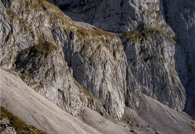
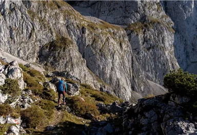
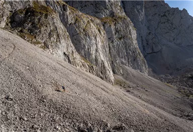
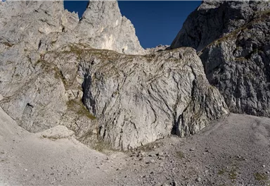
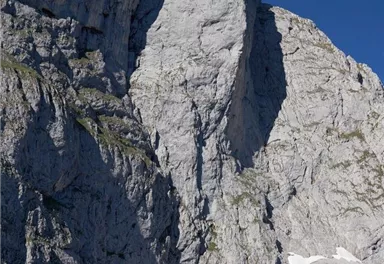
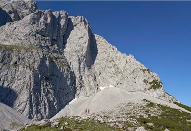
Maukspitze
What to do in an emergency? Call emergency number
140 - Mountain Rescue (Bergrettung)
112 - European Emergency Number
133 - Police
144 - Ambulance
Many routes have rescue points at the hiking signs, which can be used as a clear location identification in an emergency.
The Alpine Club provides tips for optimal preparation for mountain hiking.
SOS-EU-Alp App
The SOS EU ALP app allows you to determine your location (x,y coordinates) via your smartphone. In an emergency, this location data can be sent directly to the responsible control center (Tyrol, South Tyrol or Bavaria).
Description
The following are three example tours. For more tours, see the "Alpin Wilder Kaiser” climbing guide by Markus Stadler (3rd edition Panico-Verlag 2021).
Wall height from
100
Wall height to
320
Numbers of multi-pitch routes
3
Rocks
Kalk
Multi-rope length difficulty levels from
6+
Multi-rope length difficulty levels up to to
8+/9-
More information at: www.wilderkaiser.info/mobility
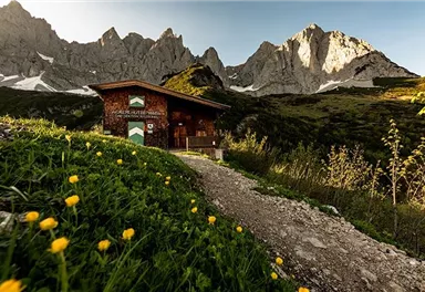
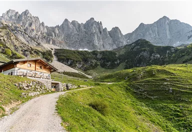
Heading from Wörgl or Kufstein on the B178 road, take the Going Prama exit before you reach the Stanglwirt hotel. When you reach the first junction, turn right in the direction of the bathing lake. Keep following the road towards the Kaisergebirge mountain range until you reach the next junction, which is located between two farmhouses. Turn left here and follow the road until you reach the hiking starting point and the car park.
It is a day car park, which means that no ticket can be purchased for several days. The parking ticket is therefore only valid on the day of issue! It is a public car park from May to October. During the winter months from November to April the car park is not attended. During this time the use is at your own risk! Camping and permanent parking is prohibited on this car park. (Vehicles that are parked illegally will be reported to the police and towed.)


Current Weather
Today
2026-05-12
Morning
-3 °C
Afternoon
-2 °C
Evening
-1 °C
Tomorrow
2026-05-13
Morning
Afternoon
5 °C
Evening
4 °C
Thursday
2026-05-14
Morning
2 °C
Afternoon
2 °C
Evening
1 °C
Friday
2026-05-15
Morning
1 °C
Afternoon
3 °C
Evening
2 °C
Saturday
2026-05-16
Morning
Afternoon
1 °C
Evening
Sunday
2026-05-17
Morning
Afternoon
2 °C
Evening
2 °C
Monday
2026-05-18
Morning
2 °C
Afternoon
5 °C
Evening
5 °C
Tuesday
2026-05-19
Morning
4 °C
Afternoon
7 °C
Evening
6 °C
Wednesday
2026-05-20
Morning
6 °C
Afternoon
9 °C
Evening
8 °C
Thursday
2026-05-21
Morning
8 °C
Afternoon
10 °C
Evening
10 °C
Friday
2026-05-22
Morning
8 °C
Afternoon
9 °C
Evening
9 °C
Saturday
2026-05-23
Morning
8 °C
Afternoon
11 °C
Evening
9 °C
Sunday
2026-05-24
Morning
8 °C
Afternoon
12 °C
Evening
10 °C
Monday
2026-05-25
Morning
8 °C
Afternoon
10 °C
Evening
10 °C
Last updated at 05/12/2026, 02:00 AM
Contact
Contact
You have questions? We are happy to assist you.


