Ski-nordic-classic
Dorfloipe Going
Partially Open
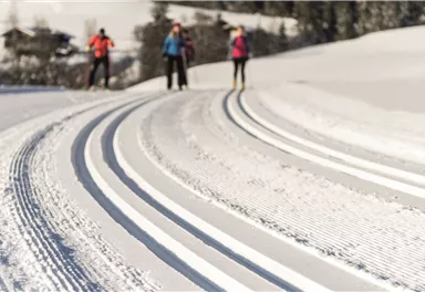
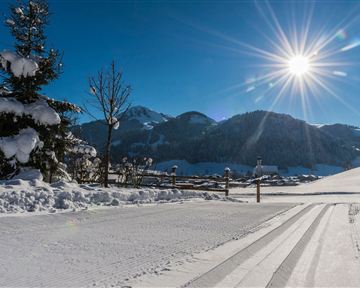
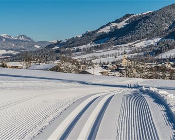
Skiing or hiking on the cross-country trail isn’t possible when there’s been too little snow on the sunny side. In this case there’s a perfectly prepared trail available on the shaded side - the Dorfloipe Going.
Medium
1,40 km
20 m
Route
1,40 km
20 m
803 m
Starting Point
Infobüro Going,
End Point
Wanderstartplatz Infobüro, Going (764 m)
What to do in an emergency? Call emergency number
140 - Mountain Rescue (Bergrettung)
112 - European Emergency Number
133 - Police
144 - Ambulance
Many routes have rescue points at the hiking signs, which can be used as a clear location identification in an emergency.
The Alpine Club provides tips for optimal preparation for mountain hiking.
SOS-EU-Alp App
The SOS EU ALP app allows you to determine your location (x,y coordinates) via your smartphone. In an emergency, this location data can be sent directly to the responsible control center (Tyrol, South Tyrol or Bavaria).
Important Information
The 'Dorfloipe Going' is not groomed daily!
Currently just skating possible!
Description
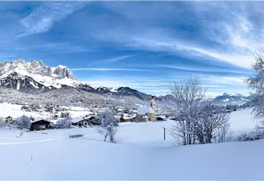
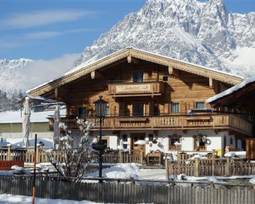
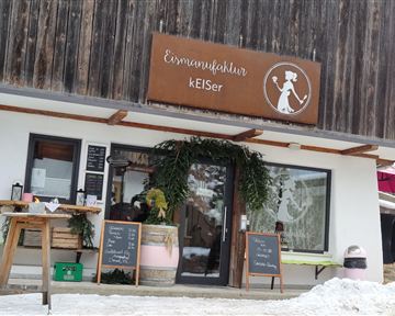
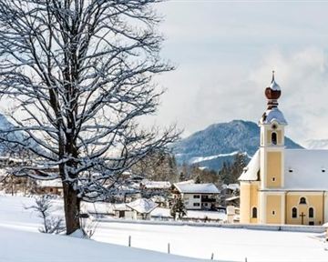
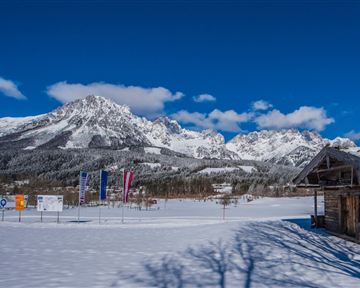
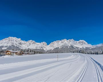
The 1.4 km long trail behind the church offers a fantastic view of the Wilder Kaiser - ideal for switching off and breathing in the clear winter air. This Going trail starts either at Söllnerweg (behind Eismanufaktur kEISer) or on the Lanzenweg (behind the Lanzenbauernhof) and leads through the snowy fields along snow-covered forests behind the church of Going.
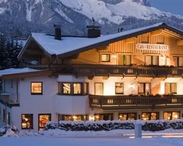
There are several places to stop for refreshments and to warm up in Going, which are only a few minutes' walk from the cross-country ski track entrances.
Best Season
Jan
Feb
Mar
Apr
May
Jun
Jul
Aug
Sep
Oct
Nov
Dec
Skill Level
Endurance
Skating
Klassisch
Heading from St. Johann on the B178 road, take the first exit to Going and drive through the town until you see the hiking starting point on the left-hand side after crossing the bridge (next to sports shop GOINGSPORT).
More information at: www.wilderkaiser.info
Current Weather
Contact
Contact
You have questions? We are happy to assist you.

