Starting from the sports field, the route starts along the house stream in the direction of the village center, past the 'alte Sennerei', then slightly uphill towards Pirchmoos. At the turn-off on the left at the Pirchmooserkapelle, the route continues into the Brosenweg, which was renovated in 2023. At the intersection in front of Ferienwohnung Lederer, turn left and follow the road slightly uphill. At the intersection just before the Hitscherhof, the paved road turns into a gravel road and leads you towards the forest border where you turn right at the first junction and continue along the edge of the forest to the Hotel Alpenschlössel. Past the hotel you will find yourself at a road junction, at which you turn left in the direction of the Reiter Dörfl. At the lower end of the settlement, a narrow path leads you again on the left through the green meadow away from the asphalted municipal road. You will then reach the Sunnseit Weg, which leads to the Franzlhof leisure complex. Via the Dorfbichl it goes back down towards the village center, you turn left at the Hotel Feichter to get back on the path of the house stream and finally find the football field in front of you again.
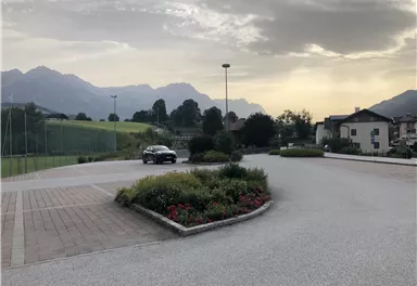
Sports ground, Söll (687 m)
Sports ground, Söll (687 m)