Deutsch
 English
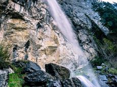
Rehbachklamm

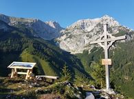
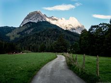
Themed hiking route with a trail full of natural experiences alongside the refreshing water.
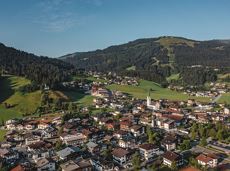
Hiking starting point Tourist Info, Scheffau (738 m)
Hiking starting point Tourist Info, Scheffau (738 m)
Wandelen
Normaal
2:30 u
7,2 km
300 Hoogtemeters