Deutsch
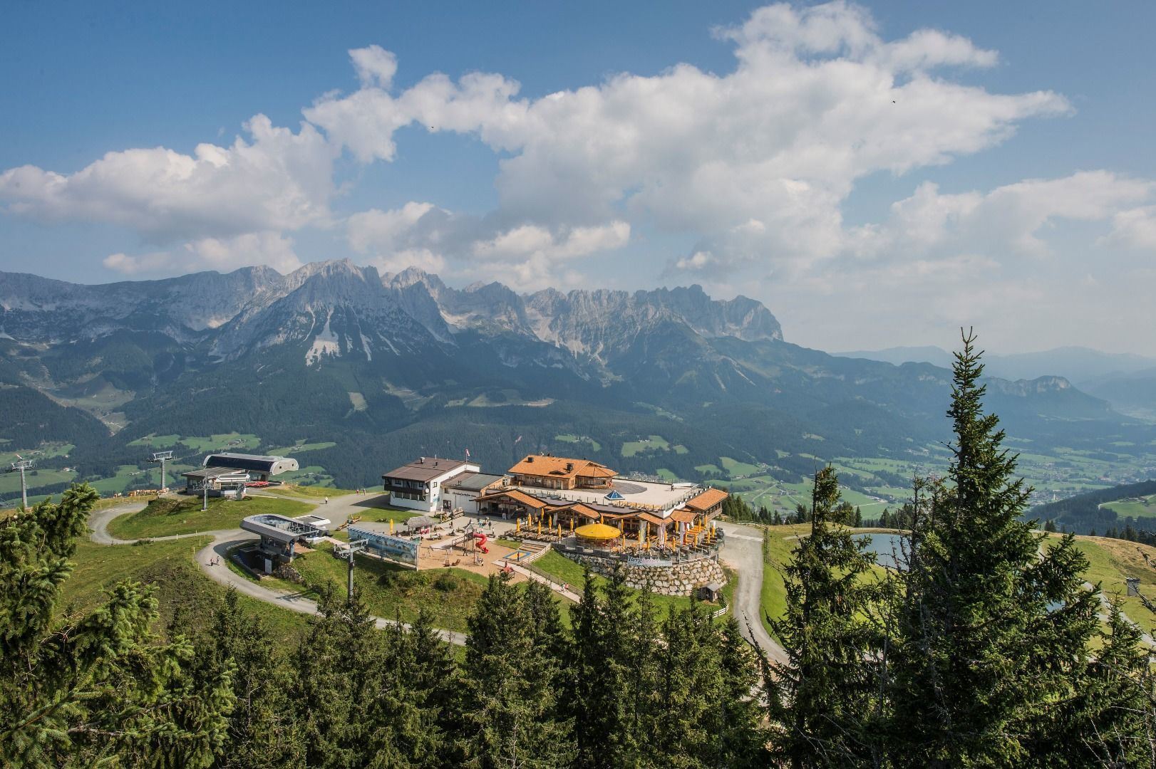


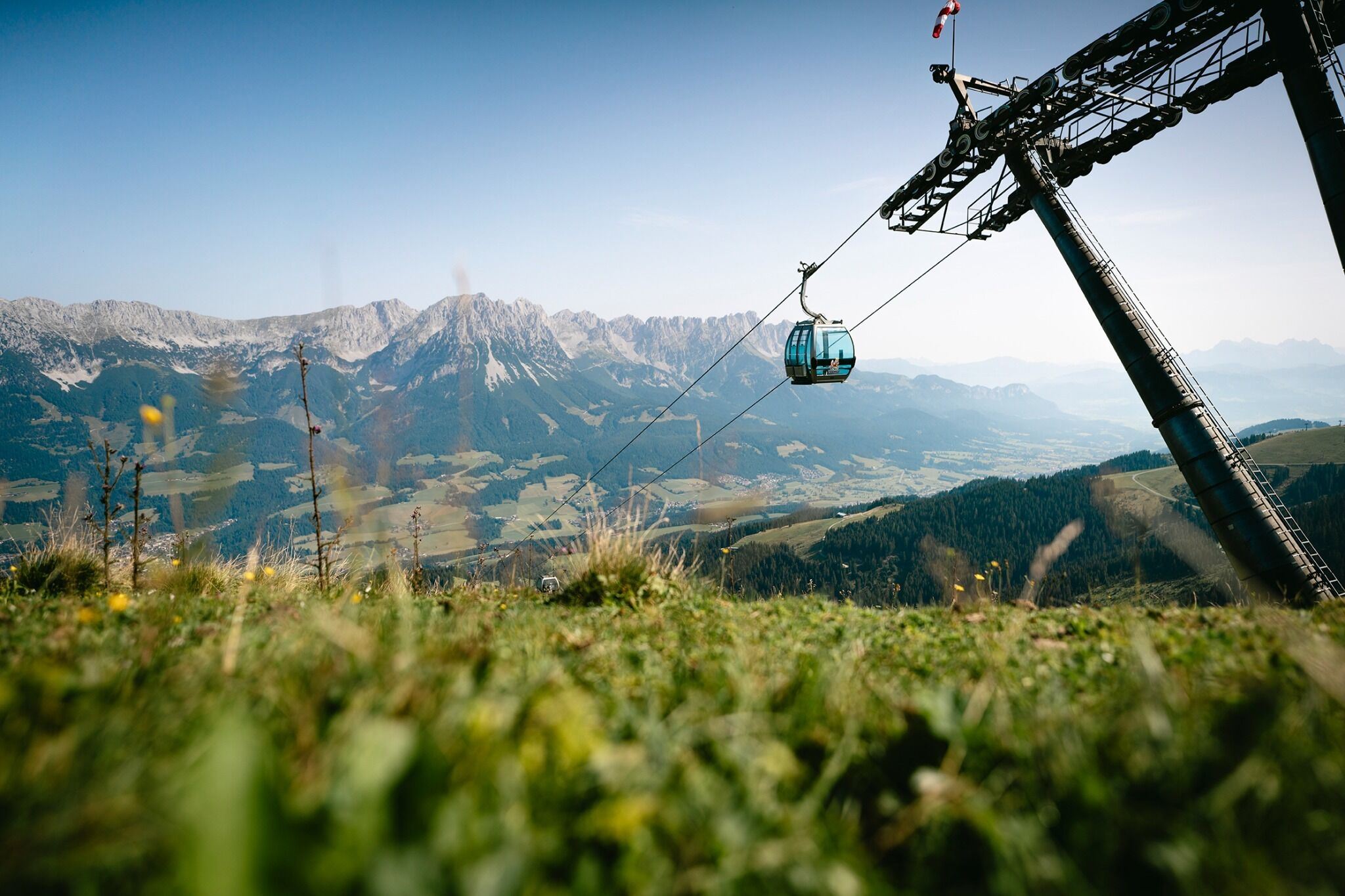


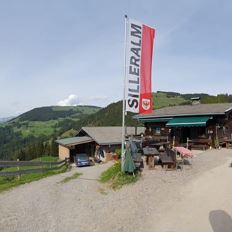
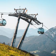
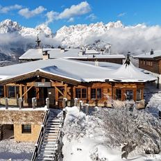
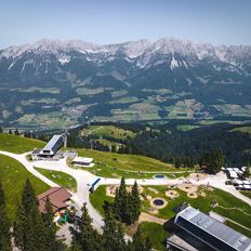
Astbergbahn Going

Cosed - Open from 08.06.2024
Going am Wilden Kaiser
(0043) 5358 2442
Read more
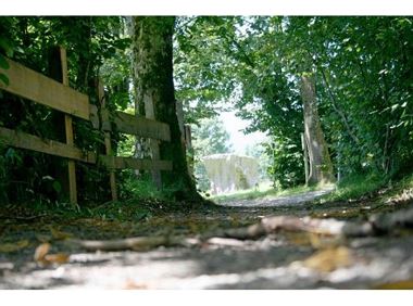
The composition of the trail varies between forest roads, meadow and forest trails.
Rucksack, hiking/mountaineering boots, hiking gear (breathable), change of clothes, sun protection (sunglasses, sun cream, headgear), waterproofs (hardshell), cold protection (gloves and hat), water bottle, food for eating on the way, hiking poles if desired, first aid kit, plastic bag for waste, hiking map/route description (gpx track)
Read more
The free "KaiserJet" hiking bus takes you comfortably to the stops of the mountain railway valley stations:
Coming on B178 road from Wörgl, Kufstein or St. Johann, drive to the cable car valley station of your chosen point of departure.
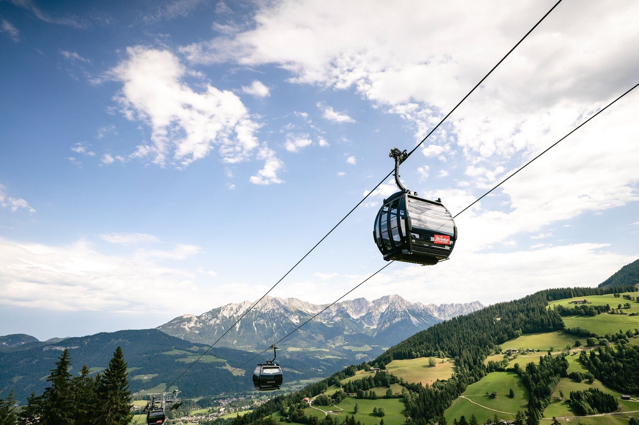
At the valley stations of every summer cable car in Ellmau, Going, Scheffau and Söll.
Read more
Fitness
Technical
Experience
01
Jan
02
Feb
03
Mrz
04
Apr
05
May
06
Jun
07
Jul
08
Aug
09
Sep
10
Oct
11
Nov
12
Dec
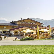
Cosed - Open from 08.06.2024
Going am Wilden Kaiser
(0043) 5358 2442

Cosed - Open from 09.05.2024
Ellmau
(0043) 5358 2320
Scheffau
(0043) 5358 8153

Söll
(0043) 5333 5260
Open - Today
Going am Wilden Kaiser
(0043) 5358 2442
Cosed - Open from 08.06.2024
Going am Wilden Kaiser
(0043) 5358 2442
Cosed - Open from 30.05.2024
Going am Wilden Kaiser
(0043) 5358 2713
Cosed - Open from 01.05.2024
Ellmau
+43 5358 43919
Ellmau
(0043) 664 4303590
Cosed - Open from 09.05.2024
Ellmau
(0043) 5358 23 20

Ellmau
(0043) 5358 2320 222
Söll
(0043) 5358 43150
Scheffau
(0043) 5358 8153

Cosed - Open from 18.05.2024
Söll/Scheffau
(0043) 664 2788244
Ellmau
(0043) 5358 8555
Brixen im Thale
(0043) 5334 8507
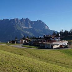
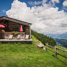
Onto the Hausberg mountain with panoramic views of the Wilder Kaiser and Hartkaiser mountains and back via the Ranhartalm.
Hiking starting point Tourist Info, Ellmau (800 m)
Hiking starting point Tourist Info, Ellmau (800 m)
Hiking
Easy
8:00 h
22,8 km
1020 Elevation gain
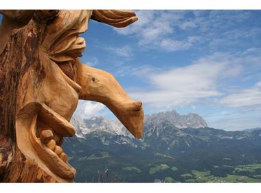
From the Bergdoktorhaus to the Rübezahl-Alm mountain hut and the Carved Figures path to Ellmi’s Zauberwelt.
Hiking starting point Tourist Info, Ellmau (800 m)
Hiking starting point Tourist Info, Ellmau (800 m)
Hiking
Easy
5:30 h
15,8 km
730 Elevation gain
An adventure hike from Ellmau village centre to the Wochenbrunner Alm mountain hut from where you can enjoy stunning views and the Ellmau Stone Circle.
Hiking starting point Tourist Info, Ellmau (800 m)
Hiking starting point Tourist Info, Ellmau (800 m)
Hiking
Easy
4:30 h
13,5 km
530 Elevation gain
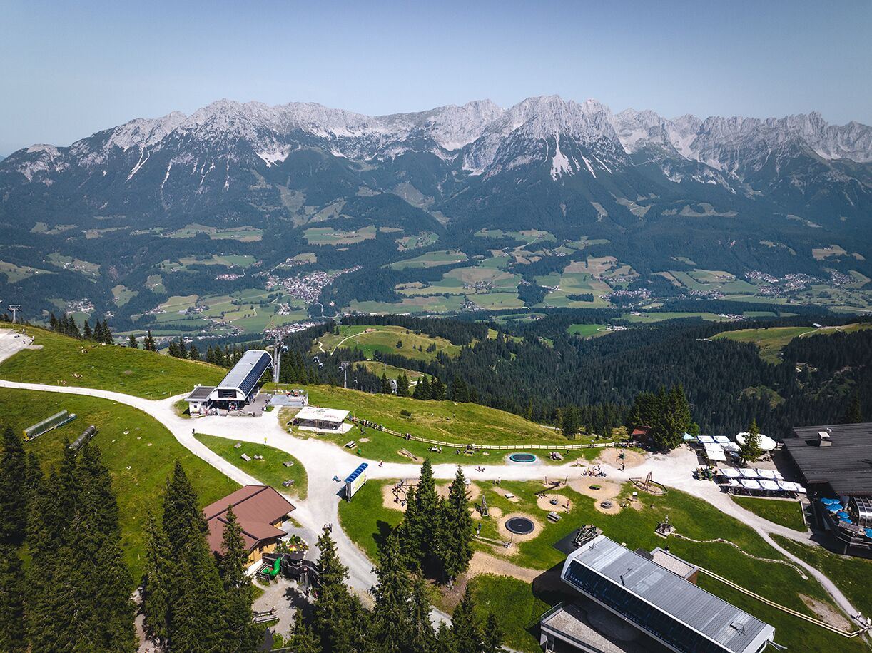
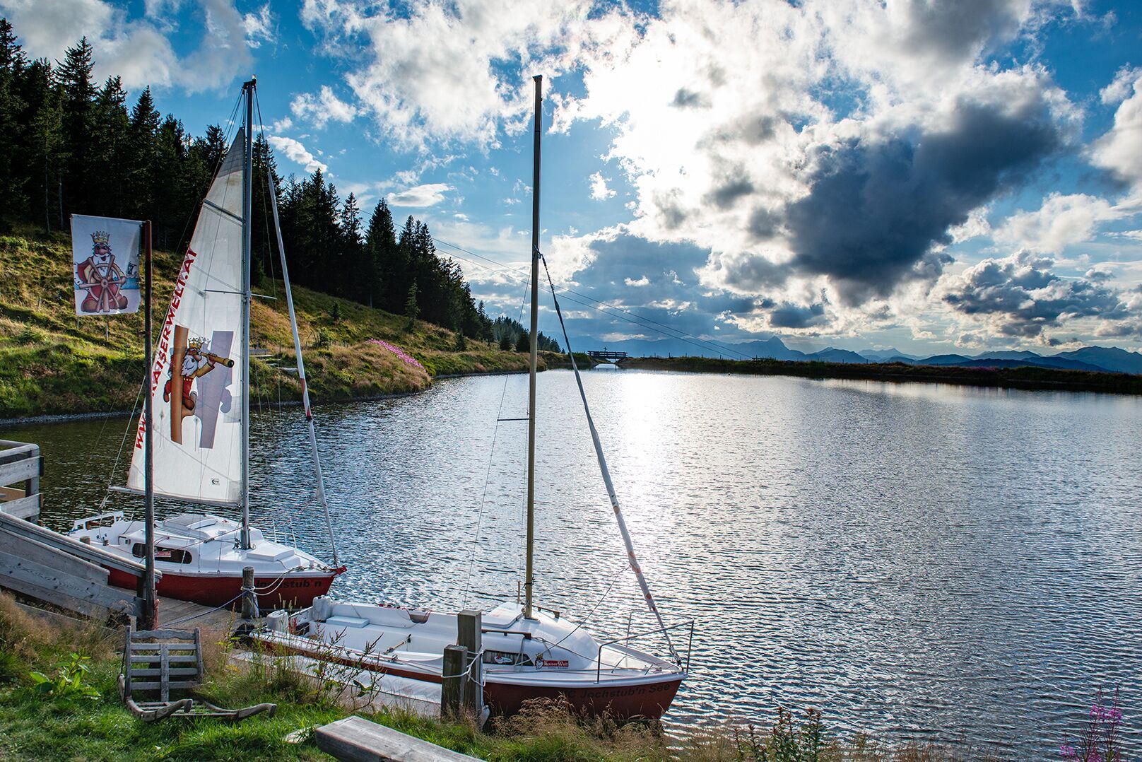
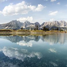
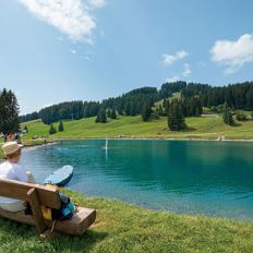
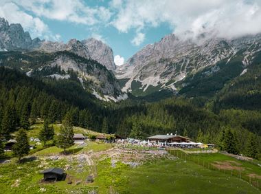
A walk that lets you experience the Brandstadl mountain and leads you to Jochstubnsee lake.
Brandstadlbahn valley station, Scheffau (681 m)
Brandstadlbahn valley station, Scheffau (681 m)
Hiking
Easy
4:45 h
12,7 km
1130 Elevation gain
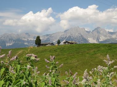
Enjoy unique panoramic views of the impressive mountains from the Biedringer Platte plateau.
Hiking starting point Tourist Info, Ellmau (800 m)
Hiking starting point Tourist Info, Ellmau (800 m)
Hiking
Easy
4:15 h
12,6 km
470 Elevation gain
A must for hikers in Söll - local history and culinary delights on the sunny side.
Hiking starting point Franzlhof, Söll (703 m)
Hiking starting point Franzlhof, Söll (703 m)
Hiking
Easy
4:00 h
12,0 km
420 Elevation gain
2024-04-28
8 °C
2024-04-29
22 °C
2024-04-30
24 °C
2024-05-01
23 °C