


 Deutsch
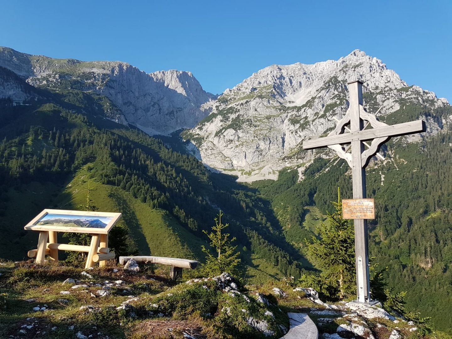

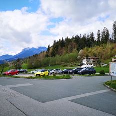
Community hall Scheffau car park
Open - Today
Scheffau am Wilden Kaiser
Read more
The composition of the trail varies between asphalt, hiking trail and forest trail.
Rucksack, sturdy hiking shoes, weather-appropriate hiking gear, sun protection, waterproofs, snack and drink, hiking poles (height adjustable) if required, mobile phone, plastic bag for waste, hiking map, route description and information materials (GPX track), ID, cash
Read more
Public car park, Scheffau (740 m), north of the Community Hall - pay & display
Heading from Wörgl, Kufstein or St. Johann on the B178 road, take the exit to Scheffau. Shortly before you come to the church, you will see the Tourist Info and the hiking starting point on the left-hand side (short-stay parking zone).
KaiserJet/Postbus stop “Scheffau Dorf”.
More information at: www.wilderkaiser.info/mobil
Read more
Fitness
Technical
Experience
01
Jan
02
Feb
03
Mrz
04
Apr
05
May
06
Jun
07
Jul
08
Aug
09
Sep
10
Oct
11
Nov
12
Dec
Open - Today
Scheffau am Wilden Kaiser
Open - Today
Scheffau am Wilden Kaiser
Cosed - Open from 01.05.2024
Scheffau am Wilden Kaiser
(0043) 5358 86700
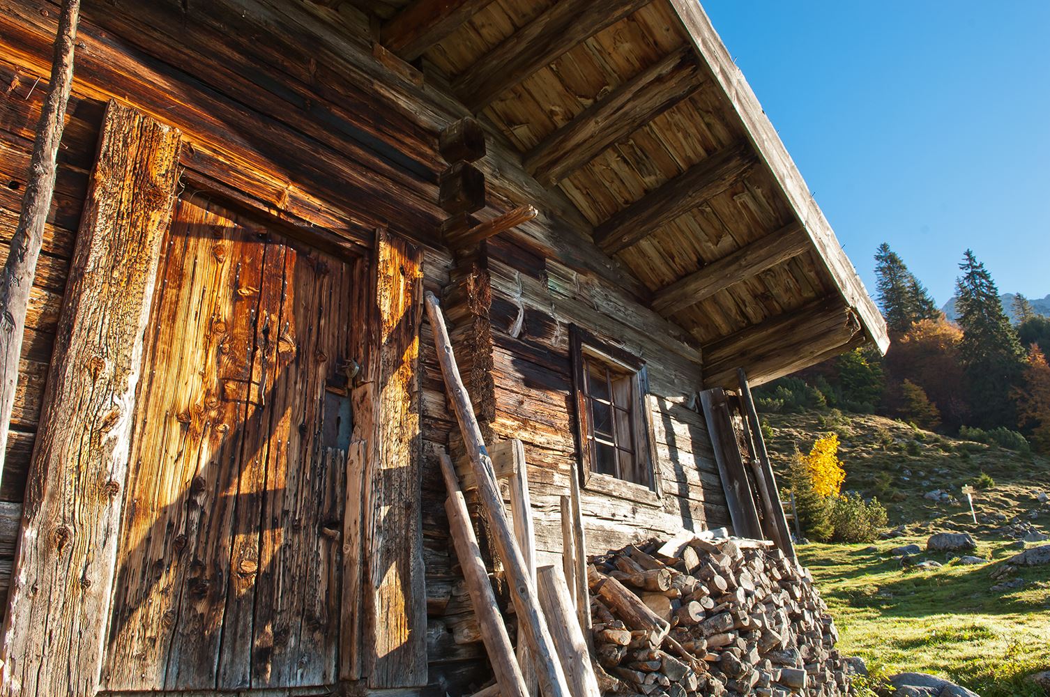
Sturdy boots will help keep your ankles and feet happy on this hike, full of the best things Tirol has to offer: well-maintained trails, wildflowers galore and waterfalls beckon the adventurous
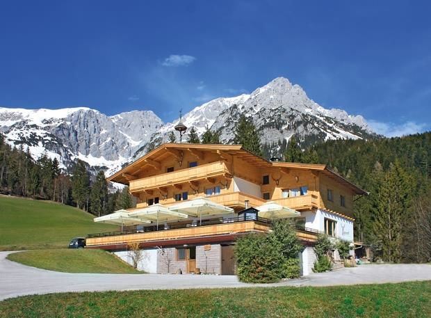
Rummlerhof, St.Johann in Tirol
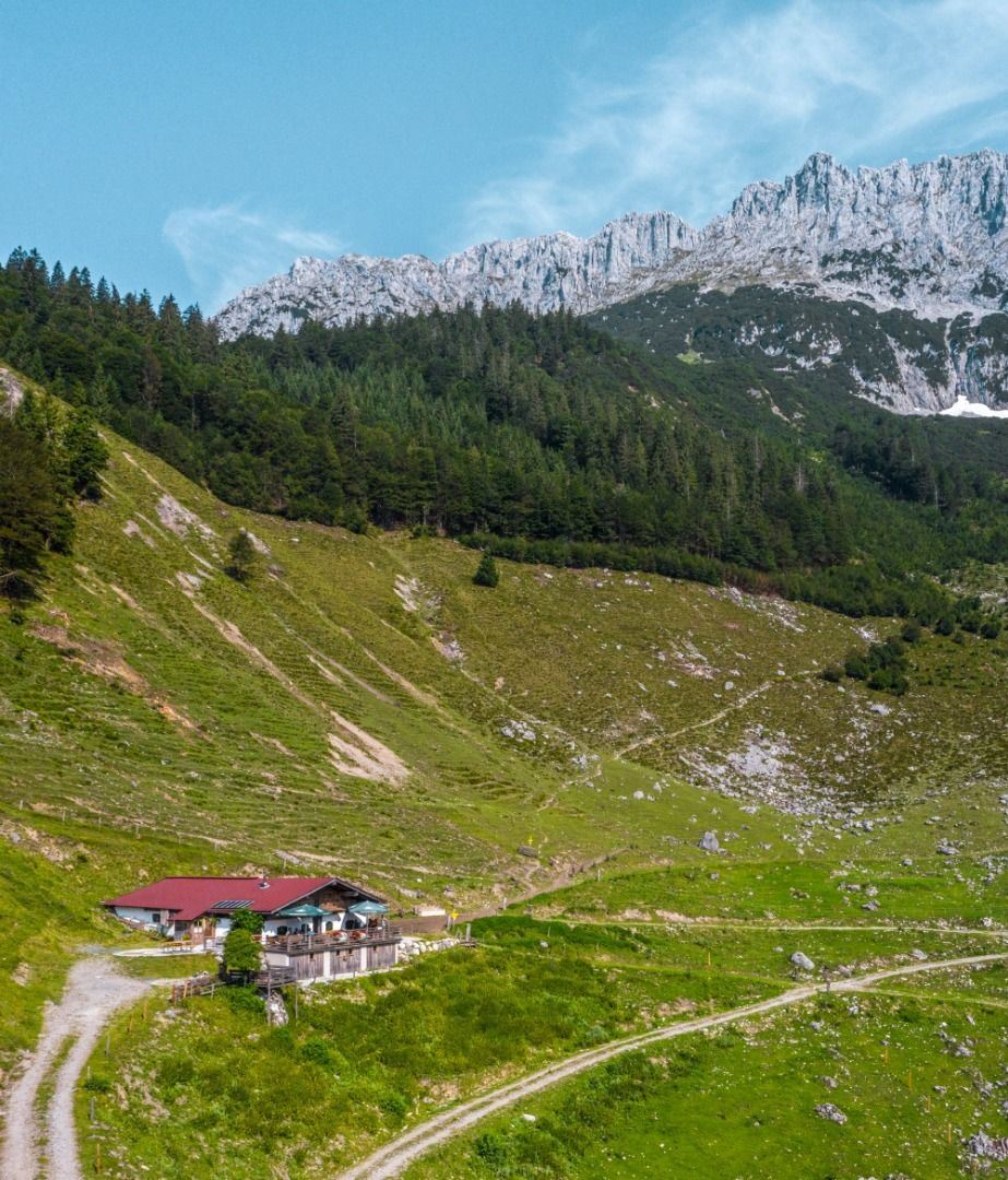
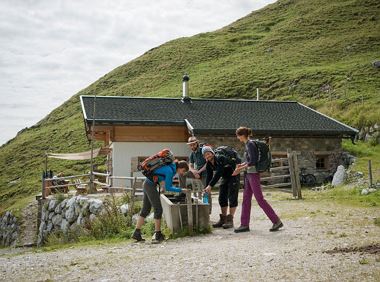
Gaudeamushütte
Hiking
Intermediate
5:00 h
13,0 km
1060 Elevation gain
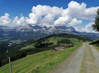
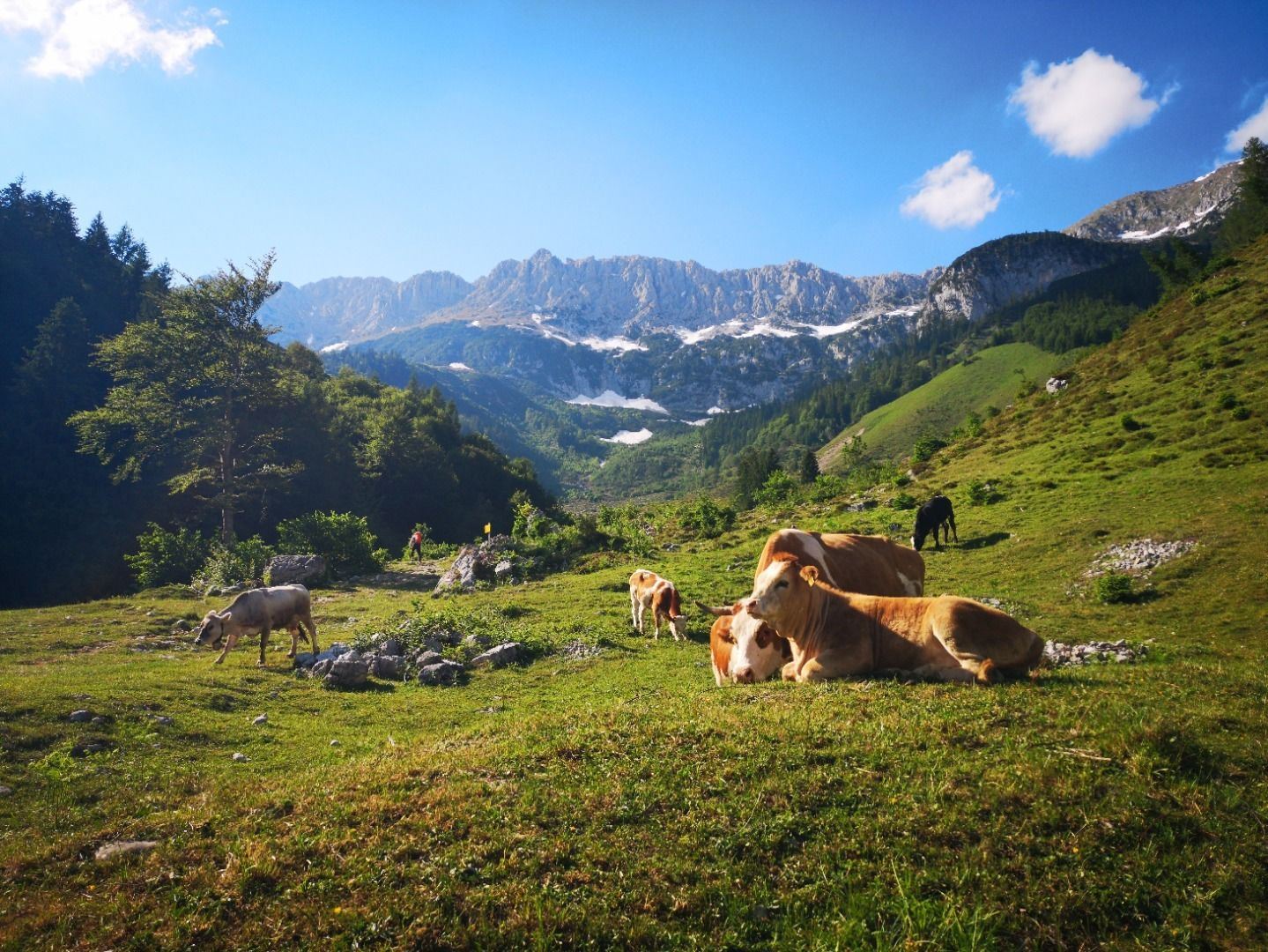
Over hill and dale through idyllic nature up to the Rauhen Kopf.
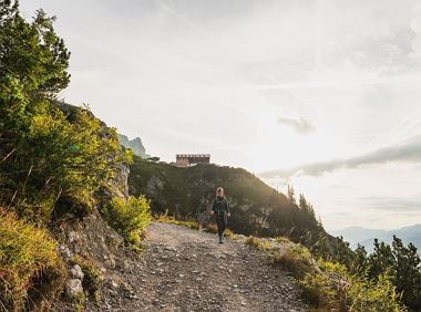
Astberg Bergstation
Astberg Bergstation
Hiking
Intermediate
4:45 h
13,1 km
620 Elevation gain
This stage takes hikers to the small town of Kufstein located on the banks of the Inn river – a town which has been celebrated in song and is steeped in history and character. Walkers make their way
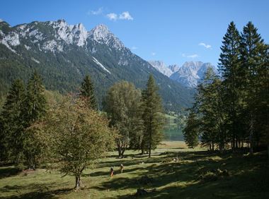
Hintersteiner See
Kufstein
Hiking
Intermediate
4:00 h
12,5 km
160 Elevation gain
Old path - now renovated and featuring a pleasant series of ascents and descents.
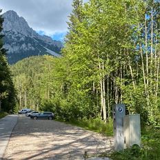
Hiking starting point Bergbahn, Söll (725 m)
Hiking starting point Bergbahn, Söll (725 m)
Hiking
Intermediate
4:30 h
13,5 km
470 Elevation gain
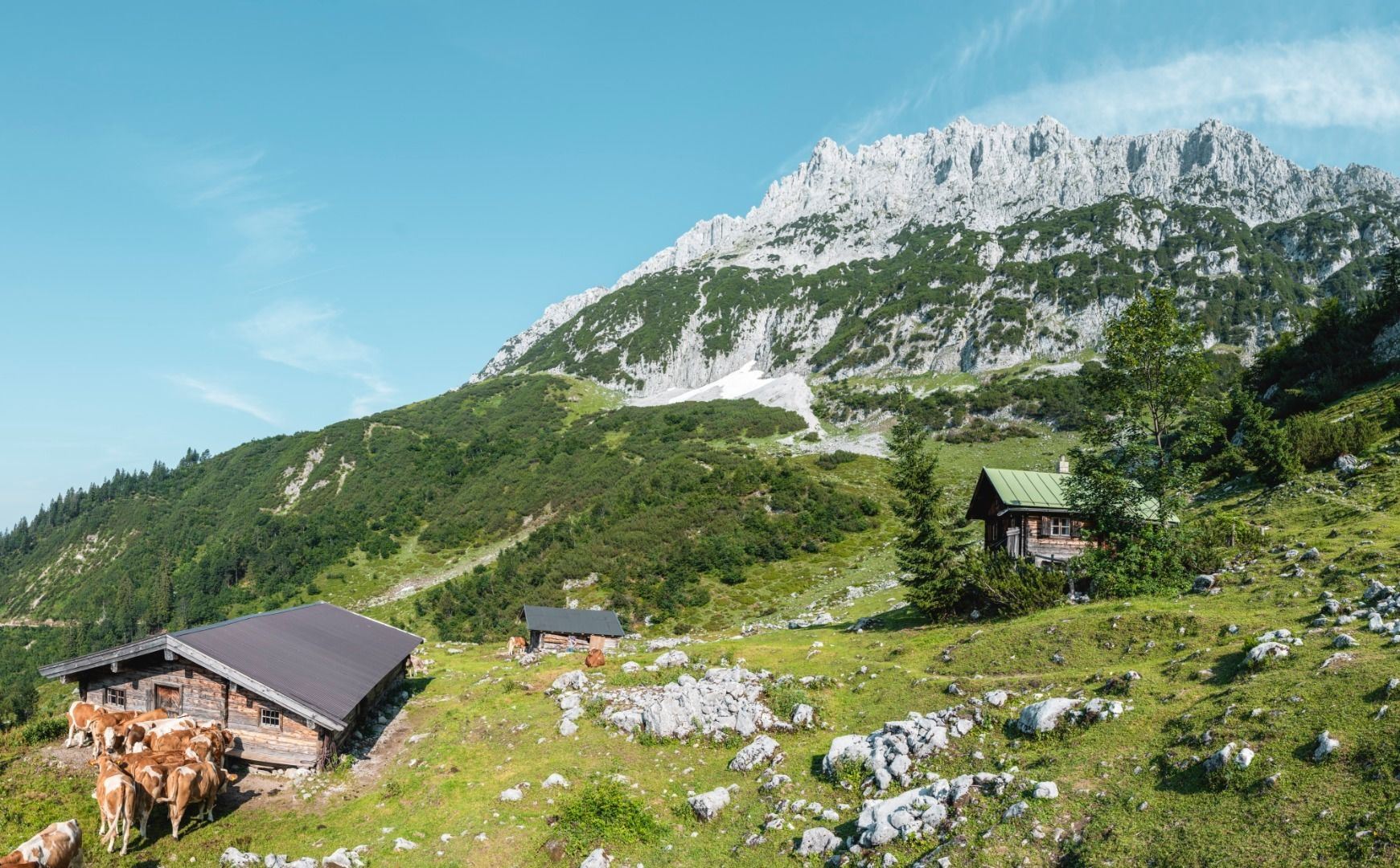
Gruttenhütte - Kaiser-Hochalm - Steiner-Hochalm - Jägersteig - Walleralm - Hochegg - Kaindlhütte
Gruttenhütte, Ellmau (1,620 m)
Hintersteiner See, Scheffau (889 m)
Hiking
Intermediate
5:30 h
13,5 km
560 Elevation gain
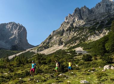
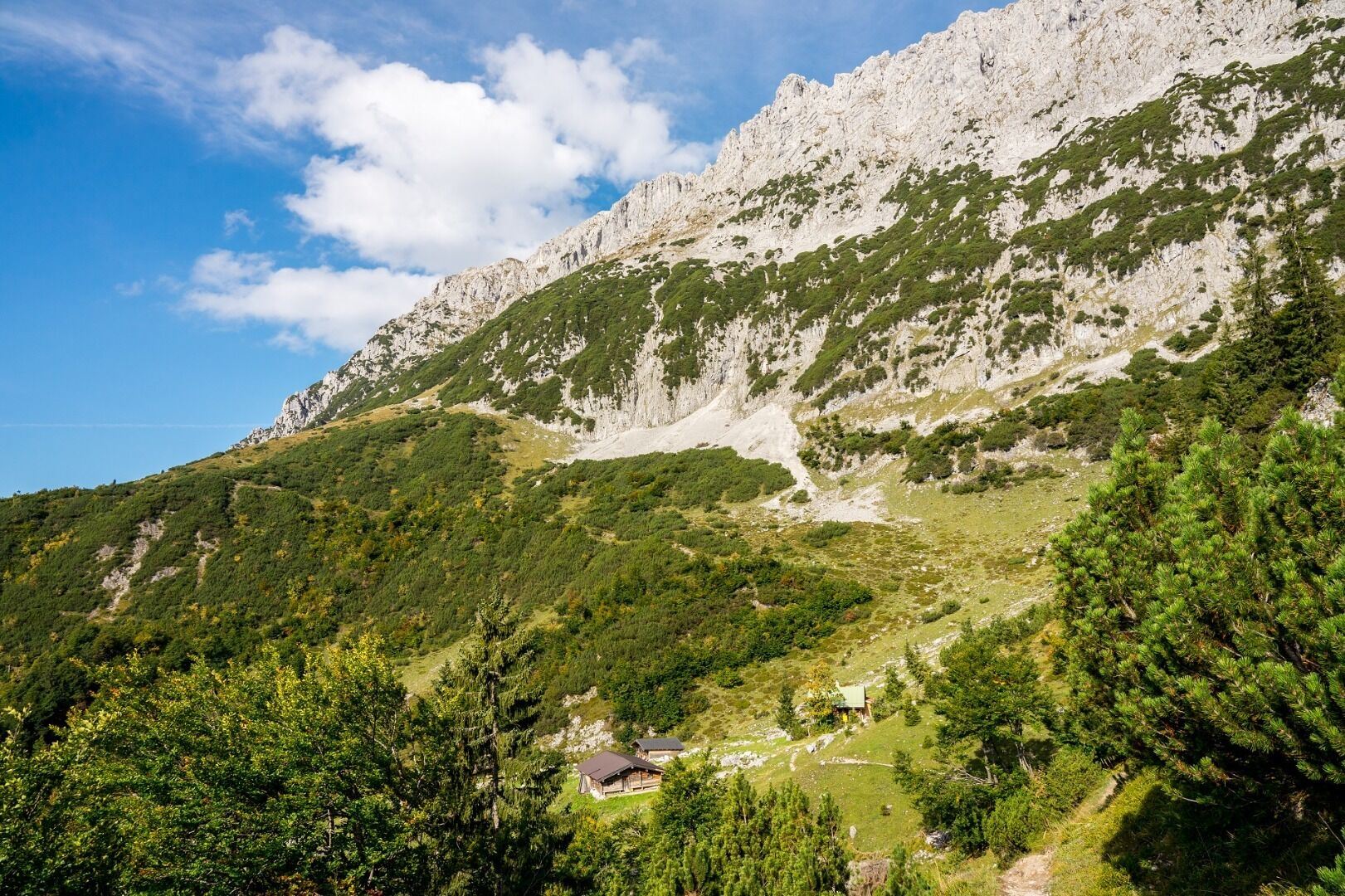
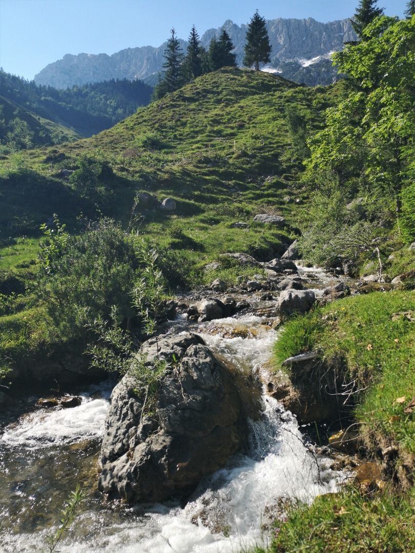
Wilder Kaiser hike to a series of special locations. Featuring the natural spectacle of the Schleier Waterfall and a view of the Gaudeamushütte mountain hut.
Hüttling, Going (820 m)
Hüttling, Going (820 m)
Hiking
Intermediate
6:00 h
13,6 km
980 Elevation gain
2024-04-29
22 °C
2024-04-30
25 °C
2024-05-01
23 °C
2024-05-02
18 °C

