


Sport climbing area
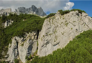
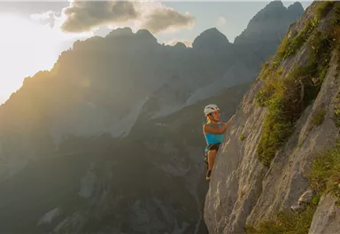
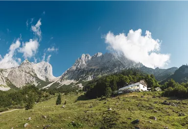
Wilderer Kanzel crag
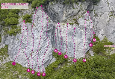
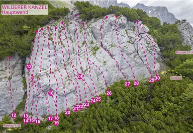
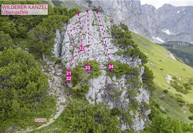
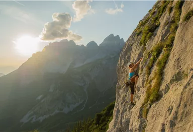
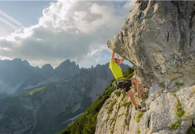
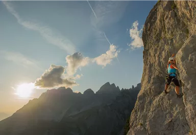
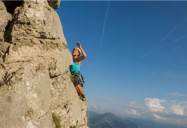
34 magnificent routes with a fantastic panoramic view of the summits.
What to do in an emergency? Call emergency number
140 - Mountain Rescue (Bergrettung)
112 - European Emergency Number
133 - Police
144 - Ambulance
Many routes have rescue points at the hiking signs, which can be used as a clear location identification in an emergency.
The Alpine Club provides tips for optimal preparation for mountain hiking.

SOS-EU-Alp App
The SOS EU ALP app allows you to determine your location (x,y coordinates) via your smartphone. In an emergency, this location data can be sent directly to the responsible control center (Tyrol, South Tyrol or Bavaria).
Description
Please note: The...
Best Season
Jan
Feb
Mar
Apr
May
Jun
Jul
Aug
Sep
Oct
Nov
Dec
Rocks
Kalk
Numbers of multi-pitch routes
34
Exposure SW
Walking time to entry point min.
1 h
Walking time to entry point max.
1 h 30 min
Route length from
8 m
Route length to
25 m
Wall slope positive
Wall slope vertical
Wall slope overhanging
Number of difficulty 2 routes
1
Number of difficulty 3 routes
3
Number of difficulty 4 routes
2
Number of difficulty 5 routes
9
Number of difficulty 6 routes
11
Number of difficulty 7 routes
7
Number of difficulty 8 routes
1
Number of difficulty 9 routes
0
40 KaiserJet : Ellmau Wochenbrunner Alm
The free hikers’ bus runs daily in summer between the Ellmau Dorf/Bauhof bus stop the trailhead of the hike to the Wochenbrunner Alm Alpine hut. Passengers can change to/from the KaiserJet and VVT-Regiobuslines 865 and 866 at the Ellmau Dorf/Bauhof bus stop.
More information at: www.wilderkaiser.info/mobility
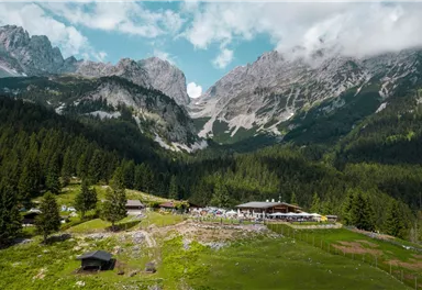
If you’re coming on the B178 from St. Johann, take the Ellmau exit and continue straight ahead until the Bauhof junction (green signposts towards Kaisergebirge/Wochenbrunn). Turn right here and immediately right again. Now follow the toll road till you reach the Wochenbrunner Alm car park.


Current Weather
Today
2026-09-16
Morning

14 °C
Afternoon

16 °C
Evening

12 °C
Tomorrow
2026-09-17
Morning

6 °C
Afternoon

10 °C
Evening
9 °C
Friday
2026-09-18
Morning
8 °C
Afternoon
10 °C
Evening
9 °C
Saturday
2026-09-19
Morning
8 °C
Afternoon
13 °C
Evening
12 °C
Sunday
2026-09-20
Morning
10 °C
Afternoon
14 °C
Evening
12 °C
Monday
2026-09-21
Morning

8 °C
Afternoon

11 °C
Evening

8 °C
Tuesday
2026-09-22
Morning

6 °C
Afternoon
9 °C
Evening
9 °C
Wednesday
2026-09-23
Morning
8 °C
Afternoon
12 °C
Evening
11 °C
Thursday
2026-09-24
Morning
9 °C
Afternoon
13 °C
Evening
11 °C
Friday
2026-09-25
Morning
9 °C
Afternoon
12 °C
Evening
11 °C
Saturday
2026-09-26
Morning
8 °C
Afternoon
15 °C
Evening
11 °C
Sunday
2026-09-27
Morning
8 °C
Afternoon
14 °C
Evening
11 °C
Monday
2026-09-28
Morning
8 °C
Afternoon
15 °C
Evening
12 °C
Tuesday
2026-09-29
Morning
8 °C
Afternoon
15 °C
Evening
12 °C
Last updated at 09/16/2026, 02:00 AM
Contact
Contact
You have questions? We are happy to assist you.


