Deutsch
 English
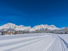
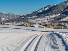
Circular walk at the summit cross of the Brandstadl

Short circular walk at the snow-white Brandstadl mountain with panorama view.
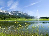
Brandstadlbahn summit station, Scheffau (1,643 m)
Brandstadlbahn summit station, Scheffau (1,643 m)
Wandelen
Gemakkelijk
0:30 u
1,3 km
40 Hoogtemeters