Deutsch
 English
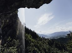
Salvenblick winter hiking trail
Comfortable winter round with a magnificent view of the Hohe Salve.
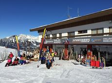
Mountain station gondola Hexenwasser, Söll (1,150 m)
Mountain station gondola Hexenwasser, Söll (1,150 m)
Wandelen
Gemakkelijk
0:45 u
1,8 km
50 Hoogtemeters