Deutsch
 English
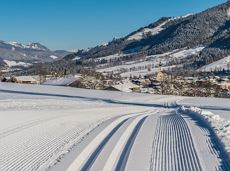
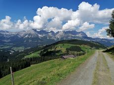
Winter hiking route Hochsöll

Cozy winter tour in Hochsöll with lift support, refreshments and view to the Hohe Salve.
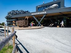
Mountain station gondola Hexenwasser, Söll (1,150 m)
Mountain station gondola Hexenwasser, Söll (1,150 m)
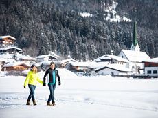
Wandelen
Gemakkelijk
1:30 u
3,2 km
100 Hoogtemeters