Deutsch
 English
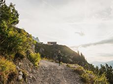
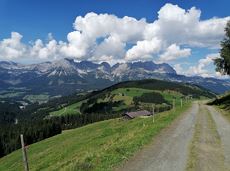
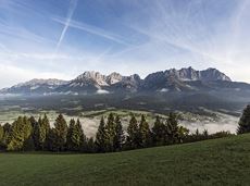
From KaiserWelt to the Hexenwasser theme park

Eventful hike for families with a great panoramic view and playgrounds for children.
Brandstadlbahn summit station, Scheffau (1,643 m)
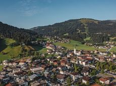
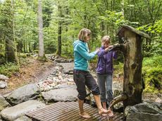
Hexenwasser theme park, Söll (1,150 m)
Wandelen
Normaal
4:00 u
11,0 km
350 Hoogtemeters