Deutsch
 Nederlands
Kleines Törl

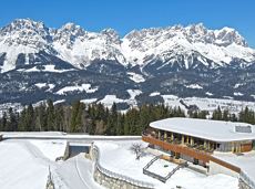
Demanding mountain tour to the Kleines Törl pass, the little "brother" of the Ellmauer Tor in the Ostkaiser.
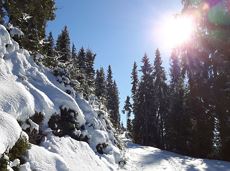
Hiking starting point Tannbichl, Going (855 m)
Hiking starting point Tannbichl, Going (855 m)
Hiking
Difficult
8:00 h
12,0 km
1260 Elevation gain