Deutsch
 Nederlands
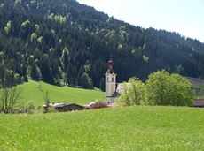
Stations of the Cross trail to the Anna Grotto

The Anna Grotto is hidden in the middle of a forest at the very foot of the Wilder Kaiser.
Wochenbrunner Alm, Ellmau (1,085 m)
Wochenbrunner Alm, Ellmau (1,085 m)
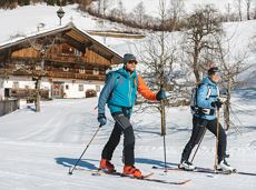
Hiking
Intermediate
0:20 h
0,7 km
50 Elevation gain